


0
Ascents

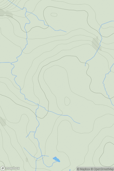
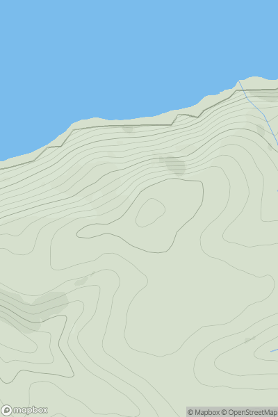
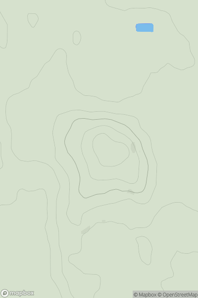
 Lake District E
 0
0 476.0
476.0User Activity
No recent Activity
0
Ascents
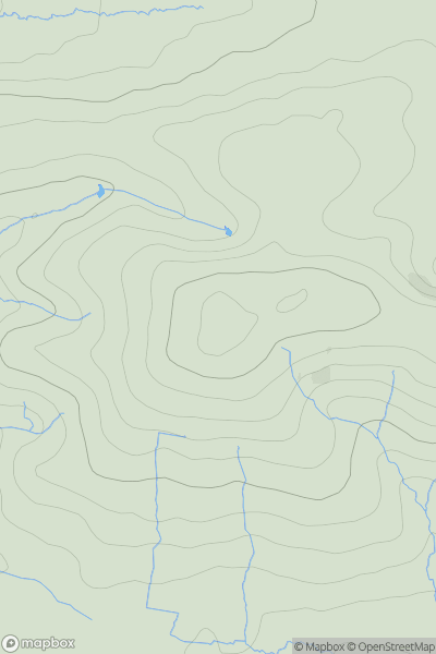
South West England
0
267.0User Activity
No recent Activity
0
Ascents
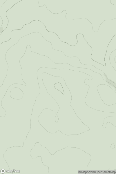
Lancashire, Cheshire and S Pennines
0
141.0User Activity
No recent Activity
0
Ascents
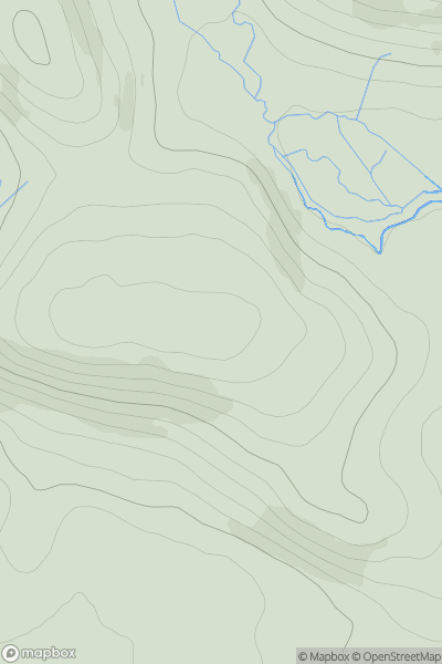
Northumberland
0
199.0User Activity
No recent Activity
0
Ascents
South West England
0
164.8User Activity
No recent Activity
0
Ascents
The River Tees to The Wash
0
80.0User Activity
No recent Activity