


0
Ascents

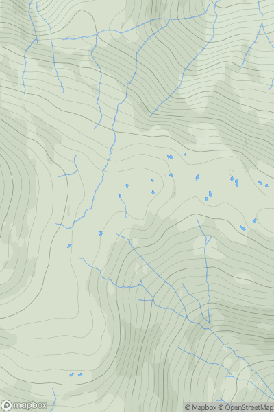
 Lake District C&W
 0
0 545.0
545.0User Activity
No recent Activity
0
Ascents
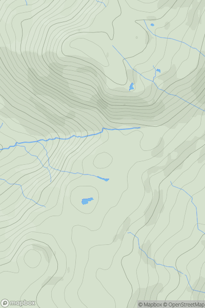
Lake District S
0
400.0User Activity
No recent Activity
0
Ascents
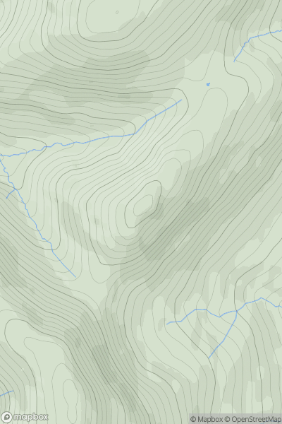
North Pennines
0
574.0User Activity
No recent Activity
0
Ascents
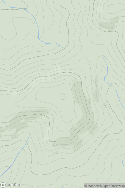
South Central England
0
194.0User Activity
No recent Activity
0
Ascents
South West England
0
351.0User Activity
No recent Activity
0
Ascents
Lake District E
0
729.0User Activity
No recent Activity