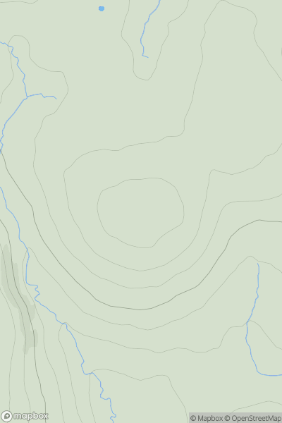
Ariel drone view of mountainous landscape with rolling clouds flowing over peak

Journal your hikes and share your adventures.

Bag peaks across the UK & Ireland, track your progress and see updates from Donder's growing community of hikers.

Donder's profile view available to users after sign-up, shows example user with progress tracking, hiking journal and user leaderboard

Thumbnail image for Little Stand showing contour plot for surrounding peak
ENG
Icon of location pin
740m
Icon of vertical, double ended, arrow to symbolise height of mountain

Little Stand

Icon of mountain used to symbolise the number of ascents made by users

0
Ascents

Thumbnail image for Torrisholme Barrow showing contour plot for surrounding peak
ENG
Icon of location pin
41m
Icon of vertical, double ended, arrow to symbolise height of mountain

Torrisholme Barrow

Icon of mountain used to symbolise the number of ascents made by users

0
Ascents

Thumbnail image for Peel Fell showing contour plot for surrounding peak
ENG
Icon of location pin
603m
Icon of vertical, double ended, arrow to symbolise height of mountain

Peel Fell

Icon of mountain used to symbolise the number of ascents made by users

0
Ascents

Thumbnail image for Aikin Knott showing contour plot for surrounding peak
ENG
Icon of location pin
473m
Icon of vertical, double ended, arrow to symbolise height of mountain

Aikin Knott

Icon of mountain used to symbolise the number of ascents made by users

0
Ascents

Thumbnail image for Brown's House Top showing contour plot for surrounding peak
ENG
Icon of location pin
539m
Icon of vertical, double ended, arrow to symbolise height of mountain

Brown's House Top

Icon of mountain used to symbolise the number of ascents made by users

0
Ascents

Thumbnail image for Thorpe Larches showing contour plot for surrounding peak
ENG
Icon of location pin
82m
Icon of vertical, double ended, arrow to symbolise height of mountain

Thorpe Larches

Icon of mountain used to symbolise the number of ascents made by users

0
Ascents