


0
Ascents

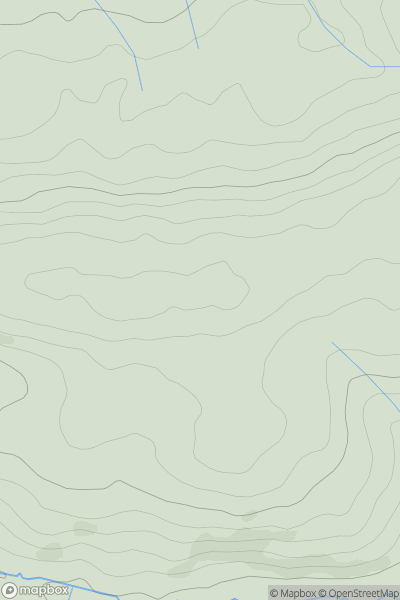
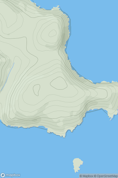
 South West England
 0
0 194.0
194.0User Activity
No recent Activity
0
Ascents
South East England
0
58.0User Activity
No recent Activity
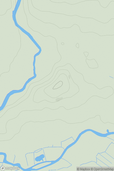
0
Ascents
Shropshire
0
459.5User Activity
No recent Activity
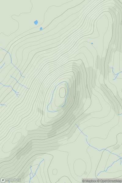
0
Ascents
North Pennines
0
181.0User Activity
No recent Activity
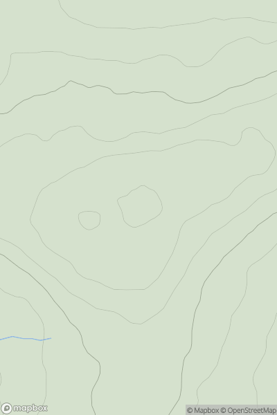
0
Ascents
South West England
0
108.0User Activity
No recent Activity
0
Ascents
North Pennines
0
247.0User Activity
No recent Activity