

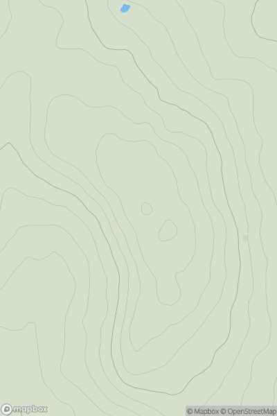
![Thumbnail image for Tom Liath [Glen Tromie to Glen Tilt] showing contour plot for surrounding peak](/static/img/mountains_img_db/4071_Tom_Liath_[Glen_Tromie_to_Glen_Tilt].png)


0
Ascents

 Glen Tromie to Glen Tilt
 0
0 691.7
691.7User Activity
No recent Activity
0
Ascents
Llandovery to Monmouth
0
243.0User Activity
No recent Activity
0
Ascents
Loch Torridon to Loch Maree
0
327.0User Activity
No recent Activity
0
Ascents
South West England
0
34.0User Activity
No recent Activity
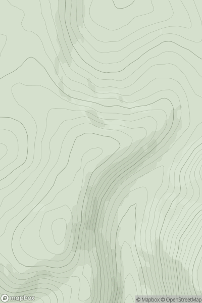
![Thumbnail image for Lamb Knowe [The River Tweed to the English Border] [NT256003] showing contour plot for surrounding peak](/static/img/mountains_img_db/14157_Lamb_Knowe_[The_River_Tweed_to_the_English_Border]_[NT256003].png)
0
Ascents
The River Tweed to the English Border
0
272.0User Activity
No recent Activity
0
Ascents
The River Tweed to the English Border
0
613.0User Activity
No recent Activity