


0
Ascents

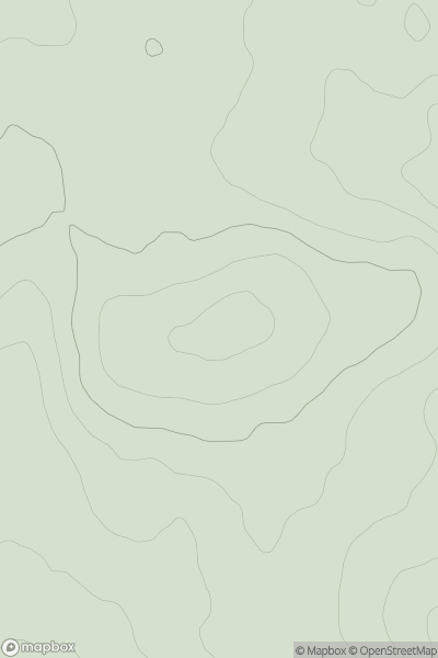
 The River Tweed to the English Border
 0
0 276.0
276.0User Activity
No recent Activity
0
Ascents
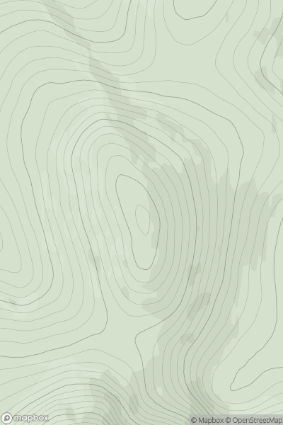
Braemar to Montrose
0
973.0User Activity
No recent Activity
0
Ascents
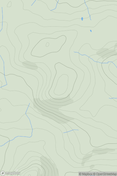
Bala to Welshpool
0
216.0User Activity
No recent Activity
.png)
0
Ascents
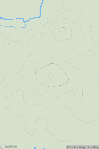
Loch Treig to Loch Ericht
0
867.3User Activity
No recent Activity
0
Ascents
South East England
0
66.0User Activity
No recent Activity
0
Ascents
Firth of Forth to the River Tweed
0
178.1User Activity
No recent Activity