


0
Ascents

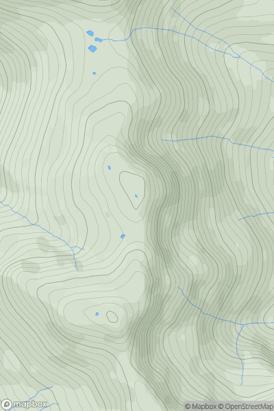
 Lake District C&W
 0
0 815.0
815.0User Activity
No recent Activity
0
Ascents
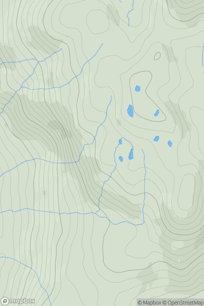
Lake District S
0
280.0User Activity
No recent Activity
0
Ascents
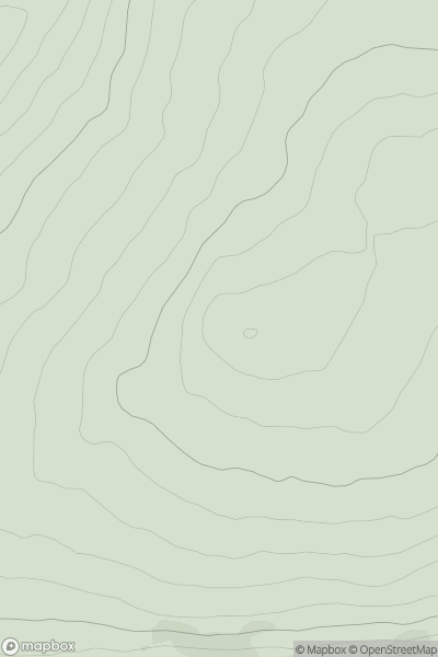
Northumberland
0
487.0User Activity
No recent Activity
.png)
0
Ascents
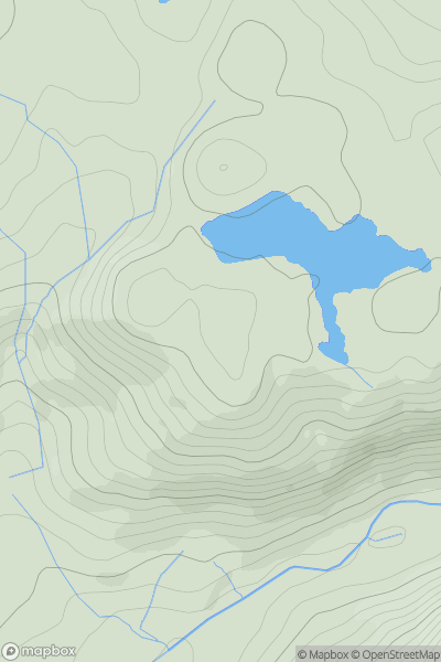
Shehy Mountains
0
519.0User Activity
No recent Activity
![Thumbnail image for Meall Luaidhe [Glen Lyon to Glen Dochart & Loch Tay] showing contour plot for surrounding peak](/static/img/mountains_img_db/7838_Meall_Luaidhe_[Glen_Lyon_to_Glen_Dochart_&_Loch_Tay].png)
0
Ascents
Glen Lyon to Glen Dochart & Loch Tay
0
775.9User Activity
No recent Activity
0
Ascents
Barmouth to Betws-y-Coed and Bala
0
474.2User Activity
No recent Activity