


0
Ascents

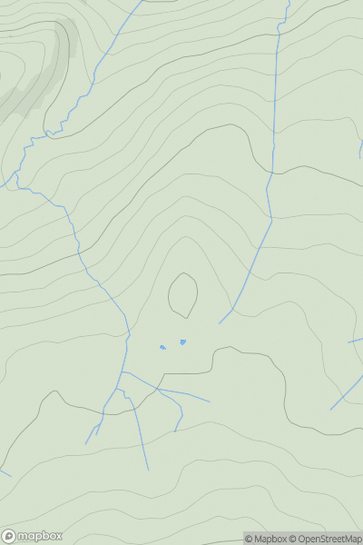
 Lake District E
 0
0 506.0
506.0User Activity
No recent Activity
0
Ascents
The River Tweed to the English Border
0
422.0User Activity
No recent Activity
0
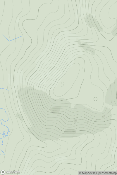
Ascents
Kyle of Lochalsh to Garve
0
395.0User Activity
No recent Activity
0
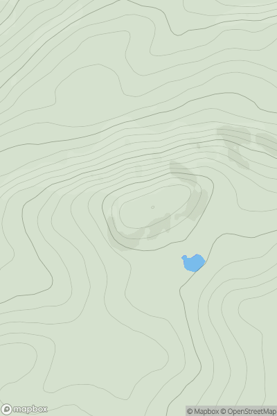
Ascents
Loch Rannoch to Glen Lyon
0
828.2User Activity
No recent Activity
0
Ascents
Central and Eastern England
0
141.0User Activity
No recent Activity
0
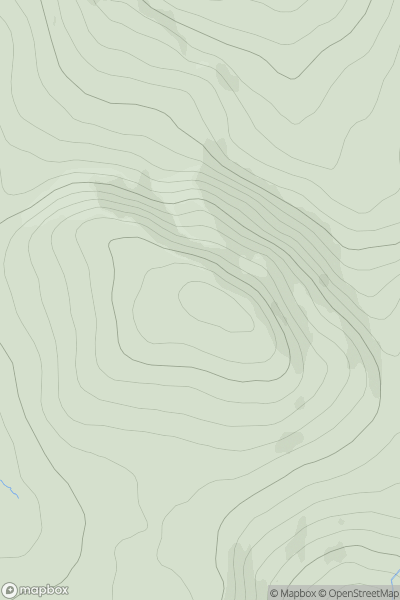
Ascents
Carrick and Galloway
0
71.0User Activity
No recent Activity