

_(Curraduff).png)


0
Ascents

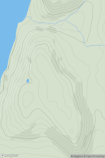
 Beara Peninsula
 0
0 568.0
568.0User Activity
No recent Activity
.png)
0
Ascents
South Central England
0
175.5User Activity
No recent Activity
0
Ascents
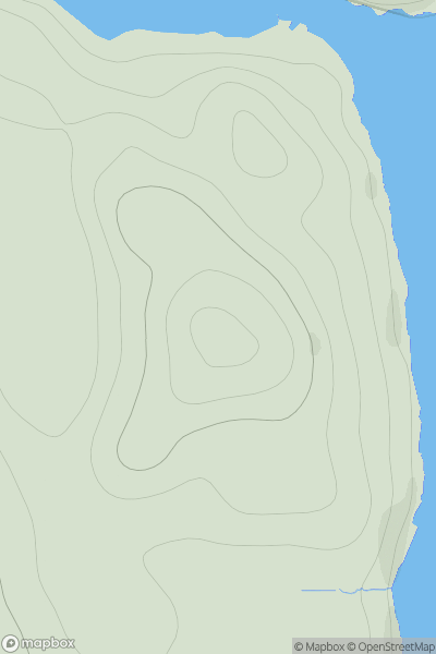
Aberystwyth to Welshpool
0
131.0User Activity
No recent Activity
0
Ascents
Shetland Islands
0
78.0User Activity
No recent Activity
0
Ascents
Shetland Islands
0
108.0User Activity
No recent Activity
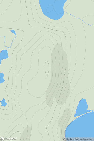
![Thumbnail image for Gallow Hill [Central Scotland from Dumbarton to Montrose] [NO390413] showing contour plot for surrounding peak](/static/img/mountains_img_db/12842_Gallow_Hill_[Central_Scotland_from_Dumbarton_to_Montrose]_[NO390413].png)
0
Ascents
Central Scotland from Dumbarton to Montrose
0
378.0User Activity
No recent Activity