

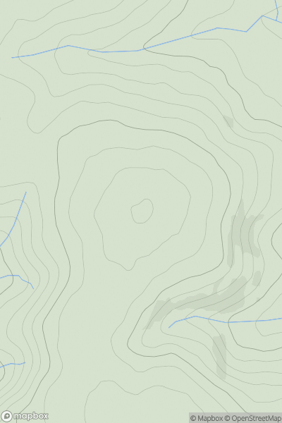
![Thumbnail image for Mid Hill [Firth of Forth to the River Tweed] showing contour plot for surrounding peak](/static/img/mountains_img_db/13896_Mid_Hill_[Firth_of_Forth_to_the_River_Tweed].png)


0
Ascents

 Firth of Forth to the River Tweed
 0
0 412.0
412.0User Activity
No recent Activity
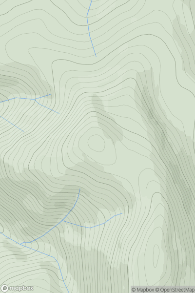
![Thumbnail image for Creag an Loch [Loch Tay to Perth] [NN878407] showing contour plot for surrounding peak](/static/img/mountains_img_db/3914_Creag_an_Loch_[Loch_Tay_to_Perth]_[NN878407].png)
0
Ascents
Loch Tay to Perth
0
663.0User Activity
No recent Activity
.png)
0
Ascents
Leitrim and W Cavan
0
260.0User Activity
No recent Activity
0
Ascents
Shropshire
0
432.2User Activity
No recent Activity
![Thumbnail image for Beinn a' Mheadhoin [Loch Duich to Cannich] showing contour plot for surrounding peak](/static/img/mountains_img_db/859_Beinn_a'_Mheadhoin_[Loch_Duich_to_Cannich].png)
0
Ascents
Loch Duich to Cannich
0
611.9User Activity
No recent Activity
0
Ascents
Pitlochry to Braemar & Blairgowrie
0
896.5User Activity
No recent Activity