


0
Ascents

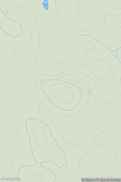
 Lancashire, Cheshire and S Pennines
 0
0 217.9
217.9User Activity
No recent Activity
0
Ascents
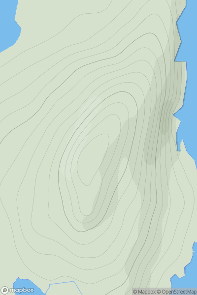
Shetland Islands
0
144.0User Activity
No recent Activity
0
Ascents
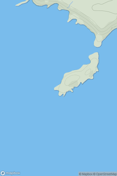
South-West Wales
0
40.0User Activity
No recent Activity
0
Ascents
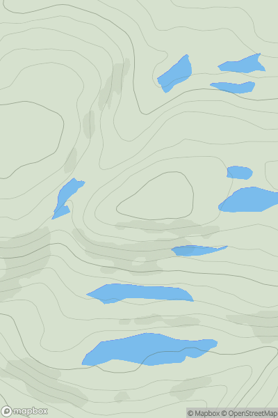
Loch Broom to Strath Oykel
0
463.0User Activity
No recent Activity
0
Ascents
Loch Rannoch to Glen Lyon
0
787.0User Activity
No recent Activity
0
Ascents
South West England
0
150.0User Activity
No recent Activity