


0
Ascents

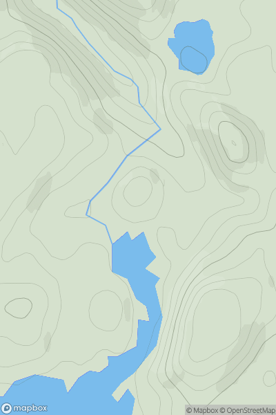
 Loch Maree to Loch Broom
 0
0 196.0
196.0User Activity
No recent Activity
0
Ascents
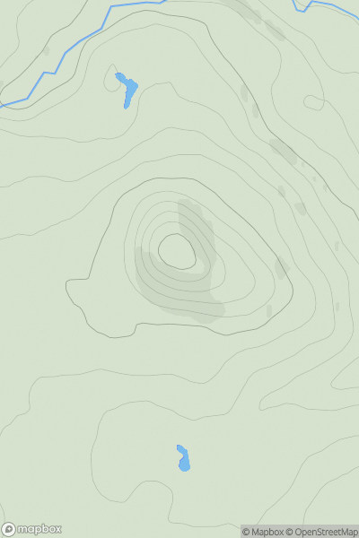
Loch Vaich to Moray Firth
0
316.0User Activity
No recent Activity

0
Ascents
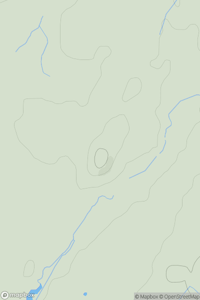
Leitrim and W Cavan
0
421.0User Activity
No recent Activity
![Thumbnail image for Cnoc na Caillich [Loch Maree to Loch Broom] showing contour plot for surrounding peak](/static/img/mountains_img_db/18792_Cnoc_na_Caillich_[Loch_Maree_to_Loch_Broom].png)
0
Ascents
Loch Maree to Loch Broom
0
163.0User Activity
No recent Activity
0
Ascents
Lancashire, Cheshire and S Pennines
0
116.0User Activity
No recent Activity
0
Ascents
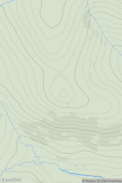
Northumberland
0
535.0User Activity
No recent Activity