


0
Ascents

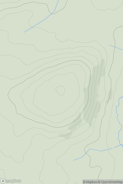
 Carmarthen to Vale of Neath
 0
0 230.0
230.0User Activity
No recent Activity
0
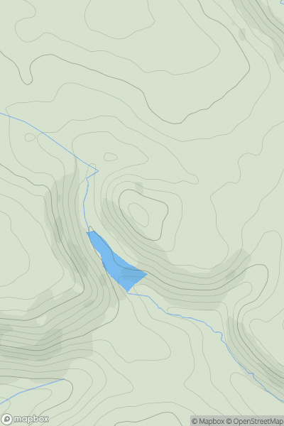
Ascents
Bala to Welshpool
0
411.2User Activity
No recent Activity
0
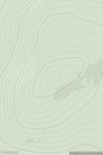
Ascents
Orkney Islands
0
225.0User Activity
No recent Activity
0
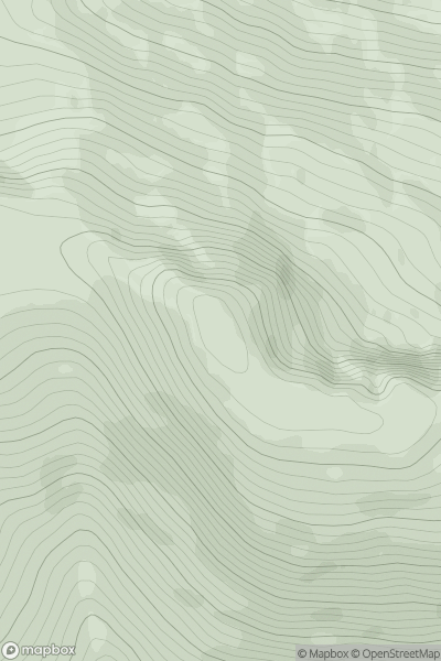
Ascents
Mallaig to Fort William
0
746.2User Activity
No recent Activity
0
Ascents
Loch Vaich to Moray Firth
0
317.0User Activity
No recent Activity
0
Ascents
South East England
0
203.0User Activity
No recent Activity