


0
Ascents

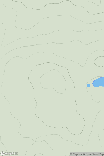
 Carrick and Galloway
 0
0 122.0
122.0User Activity
No recent Activity
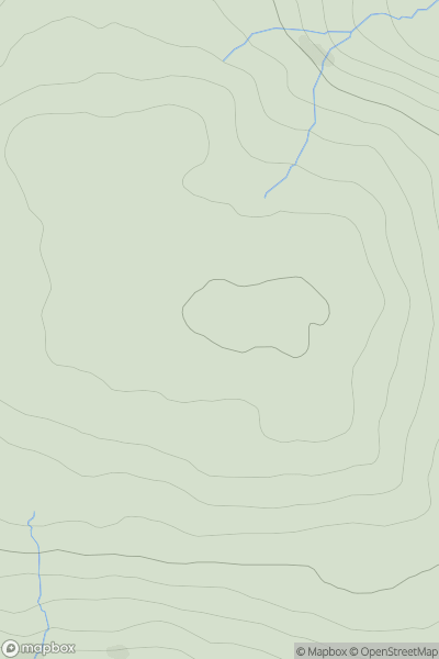
![Thumbnail image for Long Hill [Knockmealdown, Comeragh and Monavullagh Mountains] showing contour plot for surrounding peak](/static/img/mountains_img_db/21270_Long_Hill_[Knockmealdown,_Comeragh_and_Monavullagh_Mountains].png)
0
Ascents
Knockmealdown, Comeragh and Monavullagh Mountains
0
404.0User Activity
No recent Activity
0
Ascents
Northumberland
0
454.0User Activity
No recent Activity
0
Ascents
South-West Wales
0
297.0User Activity
No recent Activity
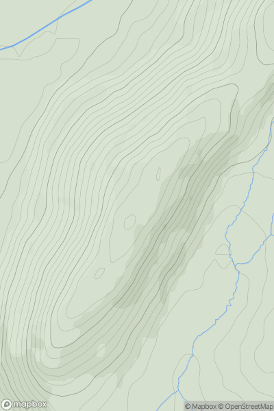
![Thumbnail image for Great Hill [The River Tweed to the English Border] [NT067132] showing contour plot for surrounding peak](/static/img/mountains_img_db/13805_Great_Hill_[The_River_Tweed_to_the_English_Border]_[NT067132].png)
0
Ascents
The River Tweed to the English Border
0
466.0User Activity
No recent Activity

0
Ascents
Firth of Forth to the River Tweed
0
84.0User Activity
No recent Activity