

.png)


0
Ascents

 Waterford, Kilkenny, Carlow
 0
0 340.0
340.0User Activity
No recent Activity
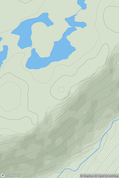
![Thumbnail image for Carn Beag [Loch Broom to Strath Oykel] showing contour plot for surrounding peak](/static/img/mountains_img_db/6721_Carn_Beag_[Loch_Broom_to_Strath_Oykel].png)
0
Ascents
Loch Broom to Strath Oykel
0
623.0User Activity
No recent Activity
![Thumbnail image for Sunny Hill [South Central England] showing contour plot for surrounding peak](/static/img/mountains_img_db/18226_Sunny_Hill_[South_Central_England].png)
0
Ascents
South Central England
0
135.0User Activity
No recent Activity
0
Ascents
Glen Albyn and the Monadh Liath
0
769.0User Activity
No recent Activity
![Thumbnail image for The Ward [Orkney Islands] showing contour plot for surrounding peak](/static/img/mountains_img_db/12221_The_Ward_[Orkney_Islands].png)
0
Ascents
Orkney Islands
0
87.0User Activity
No recent Activity
![Thumbnail image for Dun Mor [Loch Fyne to Bute and the Firth of Clyde] showing contour plot for surrounding peak](/static/img/mountains_img_db/10763_Dun_Mor_[Loch_Fyne_to_Bute_and_the_Firth_of_Clyde].png)
0
Ascents
Loch Fyne to Bute and the Firth of Clyde
0
405.0User Activity
No recent Activity