

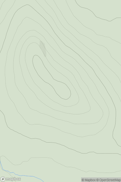
![Thumbnail image for Carn na Criche [Glen Albyn and the Monadh Liath] showing contour plot for surrounding peak](/static/img/mountains_img_db/6233_Carn_na_Criche_[Glen_Albyn_and_the_Monadh_Liath].png)


0
Ascents

 Glen Albyn and the Monadh Liath
 0
0 876.1
876.1User Activity
No recent Activity
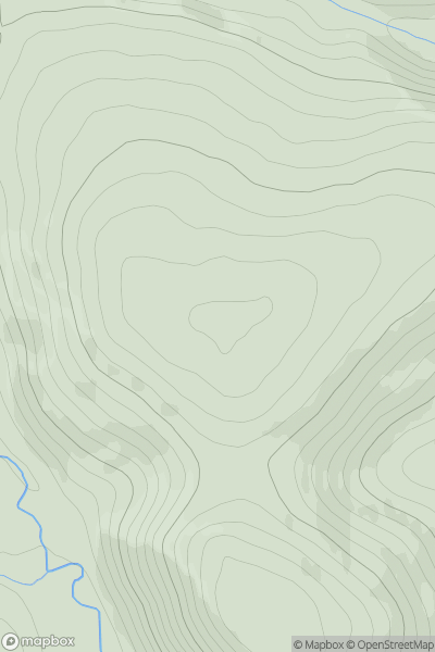
![Thumbnail image for White Sheet Hill [South Central England] [ST944242] showing contour plot for surrounding peak](/static/img/mountains_img_db/7798_White_Sheet_Hill_[South_Central_England]_[ST944242].png)
0
Ascents
South Central England
0
242.6User Activity
No recent Activity
0
Ascents
Altnaharra to Dornoch
0
261.0User Activity
No recent Activity
0
Ascents
Firth of Forth to the River Tweed
0
442.0User Activity
No recent Activity
![Thumbnail image for Park Hill [The Glenkens to Annandale] showing contour plot for surrounding peak](/static/img/mountains_img_db/13690_Park_Hill_[The_Glenkens_to_Annandale].png)
0
Ascents
The Glenkens to Annandale
0
103.0User Activity
No recent Activity
.png)
0
Ascents
Iveragh Peninsula S
0
356.0User Activity
No recent Activity