


0
Ascents

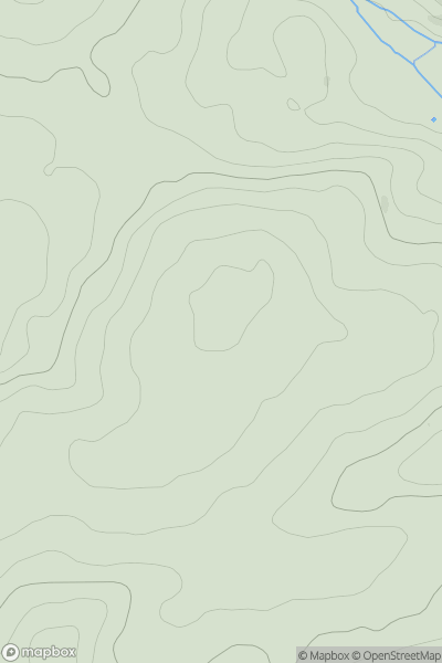
 North Skye and Raasay
 0
0 254.0
254.0User Activity
No recent Activity
0
Ascents
County Armagh
0
225.0User Activity
No recent Activity
0
Ascents
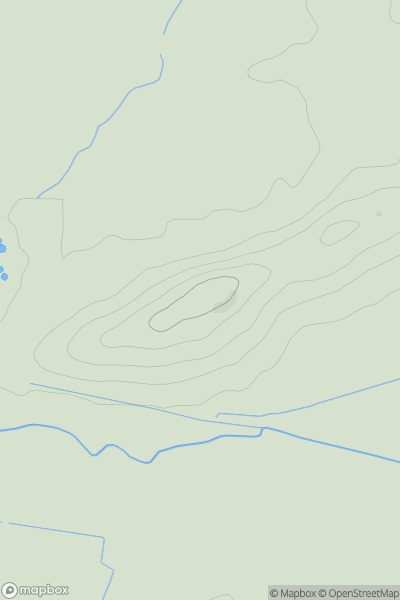
Loch Lochy to Loch Laggan
0
454.0User Activity
No recent Activity
0
Ascents
Kyle of Lochalsh to Garve
0
365.0User Activity
No recent Activity
0
Ascents
South West England
0
192.0User Activity
No recent Activity
0
Ascents
South Central England
0
69.0User Activity
No recent Activity