

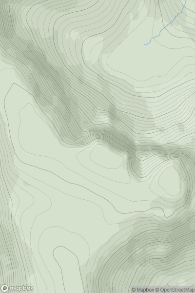
![Thumbnail image for Black Hill [Central Scotland from Dumbarton to Montrose] [NN966044] showing contour plot for surrounding peak](/static/img/mountains_img_db/13094_Black_Hill_[Central_Scotland_from_Dumbarton_to_Montrose]_[NN966044].png)


0
Ascents

 Central Scotland from Dumbarton to Montrose
 0
0 357.0
357.0User Activity
No recent Activity
0
Ascents
Applecross to Achnasheen
0
842.0User Activity
No recent Activity
0
Ascents
Northumberland
0
289.0User Activity
No recent Activity
0
Ascents
Loch Lomond to Strathyre
0
852.7User Activity
No recent Activity
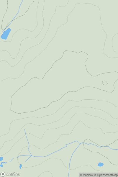
![Thumbnail image for Foel Lwyd [Dolgellau to Machynlleth] showing contour plot for surrounding peak](/static/img/mountains_img_db/14662_Foel_Lwyd_[Dolgellau_to_Machynlleth].png)
0
Ascents
Dolgellau to Machynlleth
0
261.0User Activity
No recent Activity
0
Ascents
South East England
0
153.9User Activity
No recent Activity