

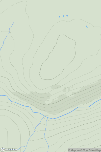
![Thumbnail image for Hart Side [Lake District E] showing contour plot for surrounding peak](/static/img/mountains_img_db/2543_Hart_Side_[Lake_District_E].png)


0
Ascents

 Lake District E
 0
0 756.0
756.0User Activity
No recent Activity
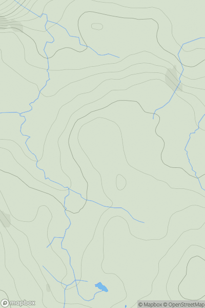
![Thumbnail image for Beinn nan Carn [South-East Skye and Scalpay] showing contour plot for surrounding peak](/static/img/mountains_img_db/1287_Beinn_nan_Carn_[South-East_Skye_and_Scalpay].png)
0
Ascents
South-East Skye and Scalpay
0
301.0User Activity
No recent Activity
0
Ascents
Glen Albyn and the Monadh Liath
0
709.0User Activity
No recent Activity
.png)
0
Ascents
Cape Wrath Peninsula
0
133.0User Activity
No recent Activity
0
Ascents
Lake District E
0
476.0User Activity
No recent Activity
.png)
0
Ascents
Blue Stack Mountains
0
403.0User Activity
No recent Activity