


0
Ascents

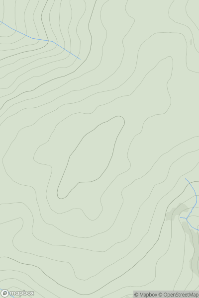
 South-West Wales
 0
0 613.0
613.0User Activity
No recent Activity
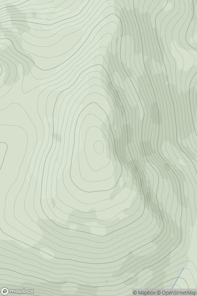
![Thumbnail image for Creach Bheinn [Morvern and Kingairloch] showing contour plot for surrounding peak](/static/img/mountains_img_db/1373_Creach_Bheinn_[Morvern_and_Kingairloch].png)
0
Ascents
Morvern and Kingairloch
0
853.0User Activity
No recent Activity
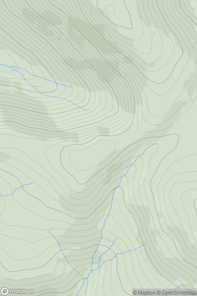
0
Ascents
Loch Arkaig to Glen Moriston
0
837.2User Activity
No recent Activity
0
Ascents
Lake District C&W
0
475.0User Activity
No recent Activity
0
Ascents
Braemar to Montrose
0
756.0User Activity
No recent Activity
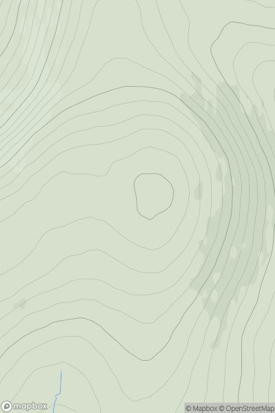
![Thumbnail image for Glas Bheinn Mhor [Minginish and the Cuillin Hills] showing contour plot for surrounding peak](/static/img/mountains_img_db/1268_Glas_Bheinn_Mhor_[Minginish_and_the_Cuillin_Hills].png)
0
Ascents
Minginish and the Cuillin Hills
0
569.0User Activity
No recent Activity