


0
Ascents

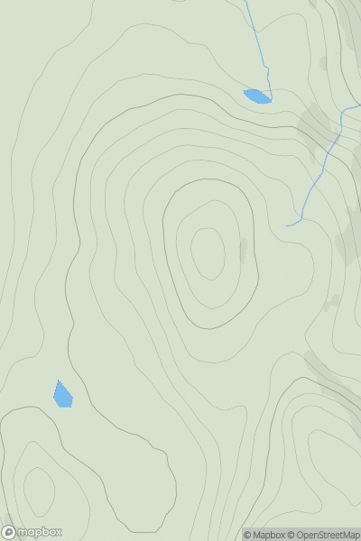
 Loch Fyne to Bute and the Firth of Clyde
 0
0 180.0
180.0User Activity
No recent Activity
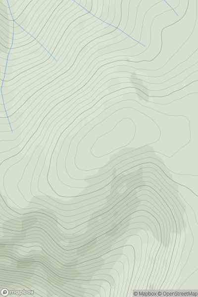
![Thumbnail image for Meall nam Maigheach [Glen Lyon to Glen Dochart & Loch Tay] showing contour plot for surrounding peak](/static/img/mountains_img_db/176_Meall_nam_Maigheach_[Glen_Lyon_to_Glen_Dochart_&_Loch_Tay].png)
0
Ascents
Glen Lyon to Glen Dochart & Loch Tay
0
778.9User Activity
No recent Activity
0
Ascents
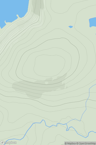
Cairngorms
0
997.4User Activity
No recent Activity
0
Ascents
Cape Wrath Peninsula
0
182.0User Activity
No recent Activity
0
Ascents
Glen Shiel to Loch Hourn and Loch Quoich
0
329.0User Activity
No recent Activity
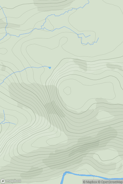
![Thumbnail image for Beinn a' Charnain [North Uist, South Uist and Nearby Islands] [NF889563] showing contour plot for surrounding peak](/static/img/mountains_img_db/4976_Beinn_a'_Charnain_[North_Uist,_South_Uist_and_Nearby_Islands]_[NF889563].png)
0
Ascents
North Uist, South Uist and Nearby Islands
0
115.0User Activity
No recent Activity