


0
Ascents

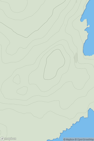
 Oban to Loch Fyne
 0
0 62.0
62.0User Activity
No recent Activity
![Thumbnail image for Tom Mor [Braemar to Montrose] showing contour plot for surrounding peak](/static/img/mountains_img_db/8422_Tom_Mor_[Braemar_to_Montrose].png)
0
Ascents
Braemar to Montrose
0
281.0User Activity
No recent Activity
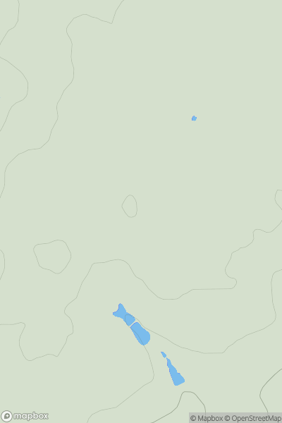
0
Ascents
Central and Eastern England
0
178.0User Activity
No recent Activity
![Thumbnail image for Pole Hill [Central Scotland from Dumbarton to Montrose] showing contour plot for surrounding peak](/static/img/mountains_img_db/5000_Pole_Hill_[Central_Scotland_from_Dumbarton_to_Montrose].png)
0
Ascents
Central Scotland from Dumbarton to Montrose
0
288.0User Activity
No recent Activity
0
Ascents
Sperrin Mountains
0
493.6User Activity
No recent Activity
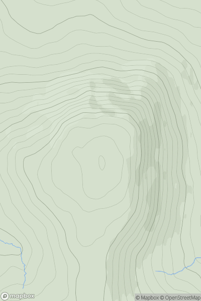
![Thumbnail image for Maol Beag [Kyle of Lochalsh to Garve] showing contour plot for surrounding peak](/static/img/mountains_img_db/8934_Maol_Beag_[Kyle_of_Lochalsh_to_Garve].png)
0
Ascents
Kyle of Lochalsh to Garve
0
272.0User Activity
No recent Activity