


0
Ascents

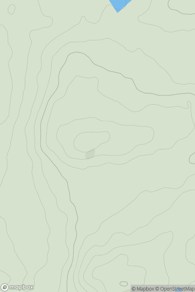
 Carmarthen to Vale of Neath
 0
0 80.4
80.4User Activity
No recent Activity
0
Ascents
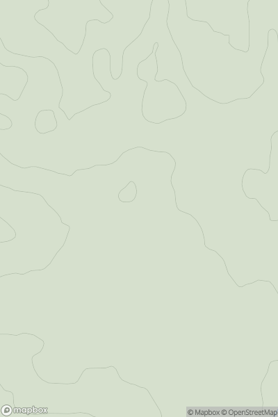
Central and Eastern England
0
188.9User Activity
No recent Activity
0
Ascents
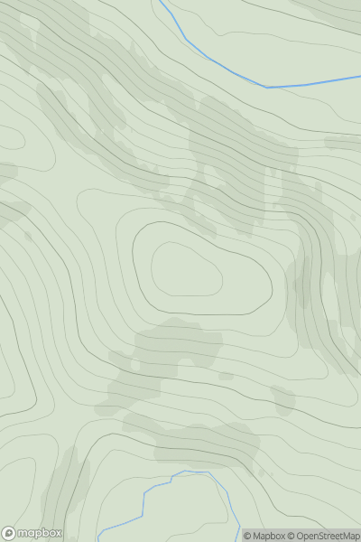
Fraserburgh to the Dee Valley
0
422.0User Activity
No recent Activity
0
Ascents
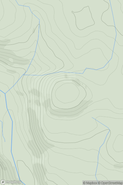
Bala to Welshpool
0
405.0User Activity
No recent Activity
0
Ascents
South-East Skye and Scalpay
0
276.0User Activity
No recent Activity
0
Ascents
Lancashire, Cheshire and S Pennines
0
527.0User Activity
No recent Activity