


0
Ascents

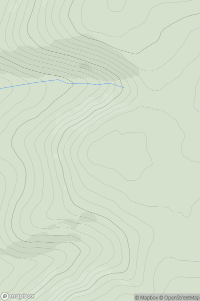
 The Glenkens to Annandale
 0
0 548.0
548.0User Activity
No recent Activity
0
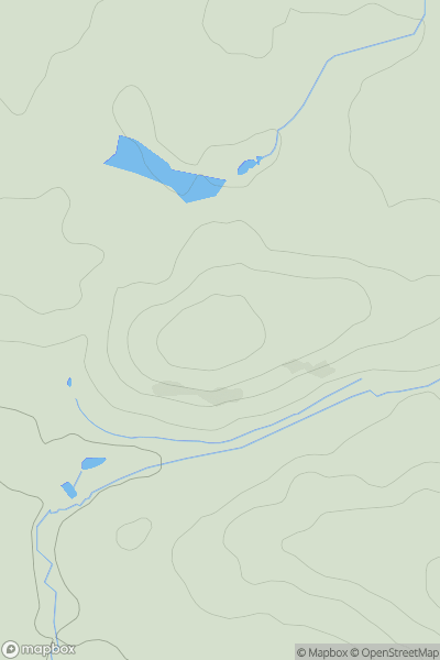
Ascents
Lancashire, Cheshire and S Pennines
0
95.7User Activity
No recent Activity
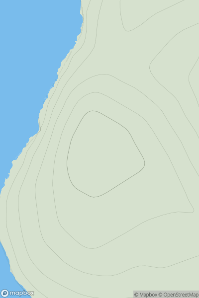
![Thumbnail image for Cockplay Hill [The River Tweed to the English Border] [NY406948] showing contour plot for surrounding peak](/static/img/mountains_img_db/13918_Cockplay_Hill_[The_River_Tweed_to_the_English_Border]_[NY406948].png)
0
Ascents
The River Tweed to the English Border
0
398.0User Activity
No recent Activity
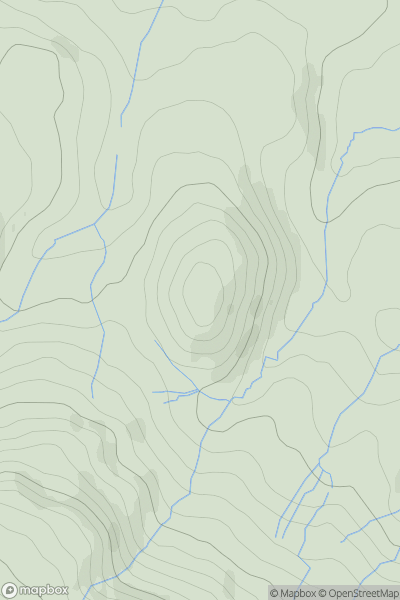
![Thumbnail image for Torr Mor [Mallaig to Fort William] showing contour plot for surrounding peak](/static/img/mountains_img_db/8774_Torr_Mor_[Mallaig_to_Fort_William].png)
0
Ascents
Mallaig to Fort William
0
81.0User Activity
No recent Activity
0
Ascents
Shetland Islands
0
62.0User Activity
No recent Activity
0
Ascents
Central Pennines
0
303.0User Activity
No recent Activity