


0
Ascents

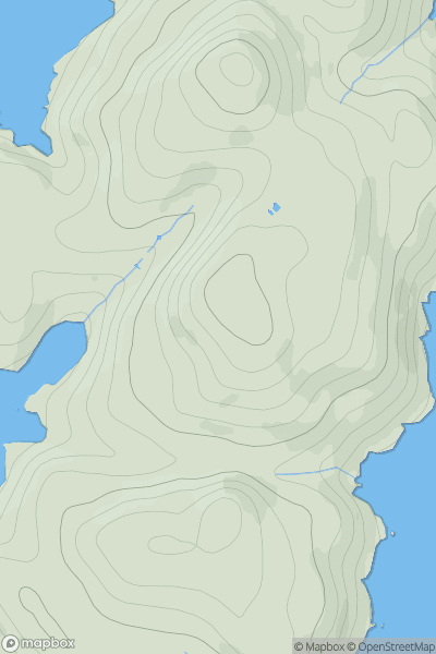
 North Skye and Raasay
 0
0 118.0
118.0User Activity
No recent Activity
.png)
0
Ascents
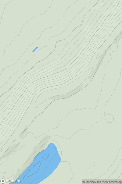
Lake District C&W
0
627.7User Activity
No recent Activity
0
Ascents
Shropshire
0
272.5User Activity
No recent Activity
0
Ascents
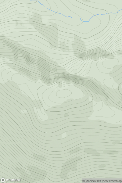
Loch Broom to Strath Oykel
0
890.0User Activity
No recent Activity
0
Ascents
South Central England
0
239.0User Activity
No recent Activity
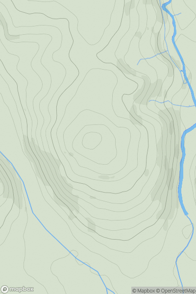
![Thumbnail image for Meall Buidhe [Glen Etive to Glen Lochy] showing contour plot for surrounding peak](/static/img/mountains_img_db/275_Meall_Buidhe_[Glen_Etive_to_Glen_Lochy].png)
0
Ascents
Glen Etive to Glen Lochy
0
623.9User Activity
No recent Activity