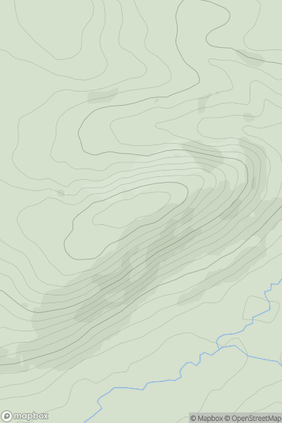
Ariel drone view of mountainous landscape with rolling clouds flowing over peak

Journal your hikes and share your adventures.

Bag peaks across the UK & Ireland, track your progress and see updates from Donder's growing community of hikers.

Donder's profile view available to users after sign-up, shows example user with progress tracking, hiking journal and user leaderboard

Thumbnail image for Dry Rigg (Redburn Common) showing contour plot for surrounding peak
ENG
Icon of location pin
565m
Icon of vertical, double ended, arrow to symbolise height of mountain

Dry Rigg (Redburn Common)

Icon of mountain used to symbolise the number of ascents made by users

0
Ascents

Thumbnail image for The Garth showing contour plot for surrounding peak
WLS
Icon of location pin
367m
Icon of vertical, double ended, arrow to symbolise height of mountain

The Garth

Icon of mountain used to symbolise the number of ascents made by users

0
Ascents

Thumbnail image for Stane Timna showing contour plot for surrounding peak
SCO
Icon of location pin
86m
Icon of vertical, double ended, arrow to symbolise height of mountain

Stane Timna

Icon of mountain used to symbolise the number of ascents made by users

0
Ascents

Thumbnail image for Cnap Coire na Spreidhe showing contour plot for surrounding peak
SCO
Icon of location pin
1152m
Icon of vertical, double ended, arrow to symbolise height of mountain

Cnap Coire na Spreidhe

Icon of mountain used to symbolise the number of ascents made by users

0
Ascents

Thumbnail image for Delph Hill showing contour plot for surrounding peak
ENG
Icon of location pin
257m
Icon of vertical, double ended, arrow to symbolise height of mountain

Delph Hill

Icon of mountain used to symbolise the number of ascents made by users

0
Ascents

Thumbnail image for Moo Stack showing contour plot for surrounding peak
SCO
Icon of location pin
36m
Icon of vertical, double ended, arrow to symbolise height of mountain

Moo Stack

Icon of mountain used to symbolise the number of ascents made by users

0
Ascents