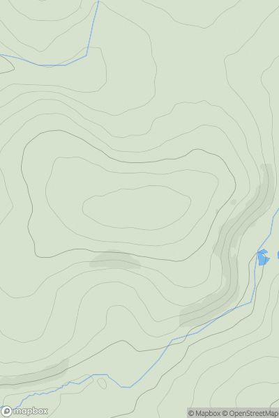
Ariel drone view of mountainous landscape with rolling clouds flowing over peak

Journal your hikes and share your adventures.

Bag peaks across the UK & Ireland, track your progress and see updates from Donder's growing community of hikers.

Donder's profile view available to users after sign-up, shows example user with progress tracking, hiking journal and user leaderboard

Thumbnail image for Botallick Hill showing contour plot for surrounding peak
ENG
Icon of location pin
129m
Icon of vertical, double ended, arrow to symbolise height of mountain

Botallick Hill

Icon of mountain used to symbolise the number of ascents made by users

0
Ascents

Thumbnail image for Comley Hill showing contour plot for surrounding peak
ENG
Icon of location pin
65m
Icon of vertical, double ended, arrow to symbolise height of mountain

Comley Hill

Icon of mountain used to symbolise the number of ascents made by users

0
Ascents

Thumbnail image for Asparagus Island showing contour plot for surrounding peak
ENG
Icon of location pin
31m
Icon of vertical, double ended, arrow to symbolise height of mountain

Asparagus Island

Icon of mountain used to symbolise the number of ascents made by users

0
Ascents

Thumbnail image for Height showing contour plot for surrounding peak
ENG
Icon of location pin
528m
Icon of vertical, double ended, arrow to symbolise height of mountain

Height

Icon of mountain used to symbolise the number of ascents made by users

0
Ascents

Thumbnail image for Clachaig Mhor showing contour plot for surrounding peak
SCO
Icon of location pin
209m
Icon of vertical, double ended, arrow to symbolise height of mountain

Clachaig Mhor

Icon of mountain used to symbolise the number of ascents made by users

0
Ascents

Thumbnail image for Stony Rigg showing contour plot for surrounding peak
ENG
Icon of location pin
502m
Icon of vertical, double ended, arrow to symbolise height of mountain

Stony Rigg

Icon of mountain used to symbolise the number of ascents made by users

0
Ascents