


0
Ascents

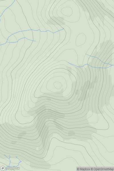
 Firth of Forth to the River Tweed
 0
0 488.0
488.0User Activity
No recent Activity
0
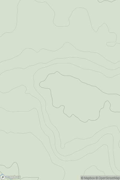
Ascents
Central and Eastern England
0
154.0User Activity
No recent Activity
0
Ascents
Central and Eastern England
0
116.0User Activity
No recent Activity
0
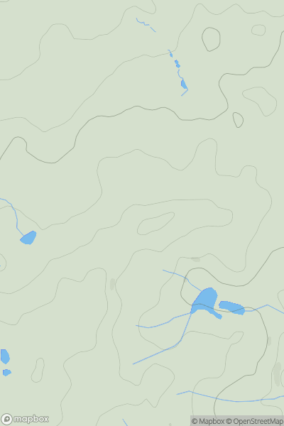
Ascents
Lochinver to Ullapool
0
150.0User Activity
No recent Activity
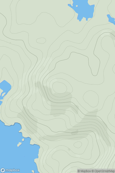
![Thumbnail image for Meall Dearg South Top [Loch Linnhe to Loch Etive] showing contour plot for surrounding peak](/static/img/mountains_img_db/5879_Meall_Dearg_South_Top_[Loch_Linnhe_to_Loch_Etive].png)
0
Ascents
Loch Linnhe to Loch Etive
0
549.3User Activity
No recent Activity
_(Gasgale_Crags).png)
0
Ascents
Lake District C&W
0
719.4User Activity
No recent Activity