


0
Ascents

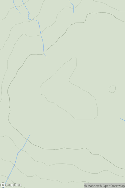
 North Pennines
 0
0 620.1
620.1User Activity
No recent Activity
0
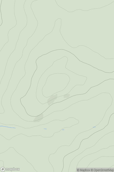
Ascents
Firth of Forth to the River Tweed
0
236.0User Activity
No recent Activity
0
Ascents
Bala to Welshpool
0
665.0User Activity
No recent Activity
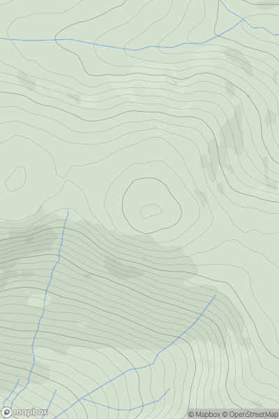
![Thumbnail image for Maovally [Scourie to Lairg] showing contour plot for surrounding peak](/static/img/mountains_img_db/1198_Maovally_[Scourie_to_Lairg].png)
0
Ascents
Scourie to Lairg
0
511.0User Activity
No recent Activity
0
Ascents
Oban to Loch Fyne
0
185.0User Activity
No recent Activity
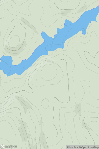
![Thumbnail image for Geal Charn [Loch Tay to Perth] showing contour plot for surrounding peak](/static/img/mountains_img_db/5641_Geal_Charn_[Loch_Tay_to_Perth].png)
0
Ascents
Loch Tay to Perth
0
686.0User Activity
No recent Activity