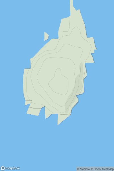
Ariel drone view of mountainous landscape with rolling clouds flowing over peak

Journal your hikes and share your adventures.

Bag peaks across the UK & Ireland, track your progress and see updates from Donder's growing community of hikers.

Donder's profile view available to users after sign-up, shows example user with progress tracking, hiking journal and user leaderboard

Thumbnail image for Eilean Mullagrach showing contour plot for surrounding peak
SCO
Icon of location pin
47m
Icon of vertical, double ended, arrow to symbolise height of mountain

Eilean Mullagrach

Icon of mountain used to symbolise the number of ascents made by users

0
Ascents

Thumbnail image for Beinn Spionnaidh showing contour plot for surrounding peak
SCO
Icon of location pin
773m
Icon of vertical, double ended, arrow to symbolise height of mountain

Beinn Spionnaidh

Icon of mountain used to symbolise the number of ascents made by users

0
Ascents

Thumbnail image for Swinny Knoll showing contour plot for surrounding peak
ENG
Icon of location pin
309m
Icon of vertical, double ended, arrow to symbolise height of mountain

Swinny Knoll

Icon of mountain used to symbolise the number of ascents made by users

0
Ascents

Thumbnail image for Pen Ystrad-fawr showing contour plot for surrounding peak
WLS
Icon of location pin
93m
Icon of vertical, double ended, arrow to symbolise height of mountain

Pen Ystrad-fawr

Icon of mountain used to symbolise the number of ascents made by users

0
Ascents

Thumbnail image for Smithton Hill showing contour plot for surrounding peak
SCO
Icon of location pin
324m
Icon of vertical, double ended, arrow to symbolise height of mountain

Smithton Hill

Icon of mountain used to symbolise the number of ascents made by users

0
Ascents

Thumbnail image for Slieveboy showing contour plot for surrounding peak
IRE
Icon of location pin
259m
Icon of vertical, double ended, arrow to symbolise height of mountain

Slieveboy

Icon of mountain used to symbolise the number of ascents made by users

0
Ascents