


0
Ascents

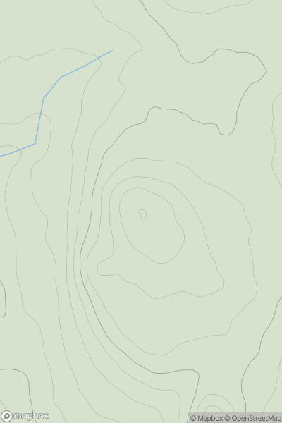
 Anglesey and the Lleyn Peninsula
 0
0 194.0
194.0User Activity
No recent Activity
0
Ascents
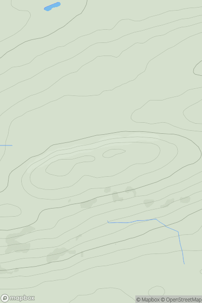
Northumberland
0
344.7User Activity
No recent Activity
0
Ascents
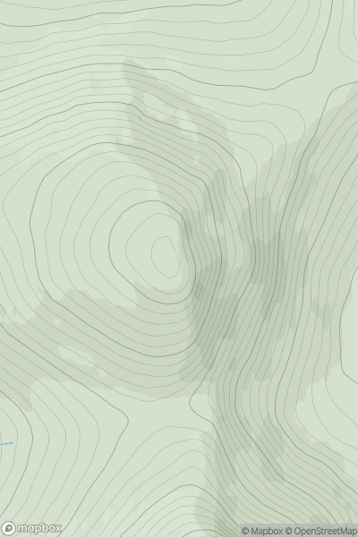
Loch Treig to Loch Ericht
0
929.0User Activity
No recent Activity
0
Ascents
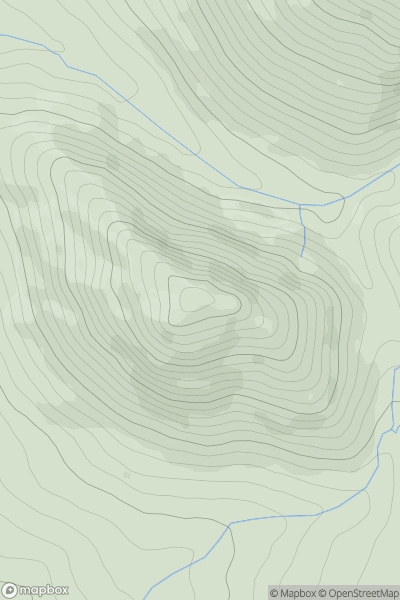
North Pennines
0
481.0User Activity
No recent Activity
0
Ascents
Glen Albyn and the Monadh Liath
0
765.4User Activity
No recent Activity
0
Ascents
Lake District E
0
655.0User Activity
No recent Activity