


0
Ascents

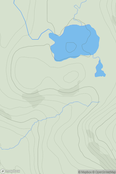
 Loch Treig to Loch Ericht
 0
0 911.4
911.4User Activity
No recent Activity
0
Ascents
The River Tweed to the English Border
0
393.0User Activity
No recent Activity
0
Ascents
South-West Wales
0
266.0User Activity
No recent Activity
0
Ascents
Northumberland
0
459.0User Activity
No recent Activity
0
Ascents
North Skye and Raasay
0
183.0User Activity
No recent Activity
0
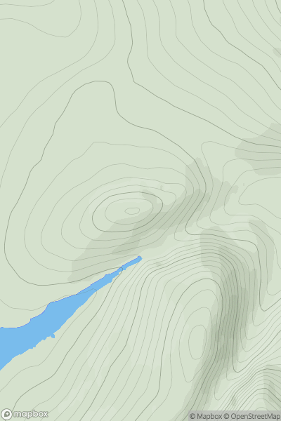
Ascents
Loch Treig to Loch Ericht
0
588.0User Activity
No recent Activity