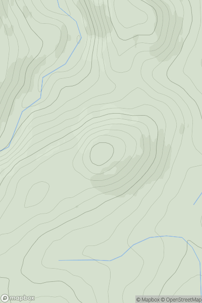
Ariel drone view of mountainous landscape with rolling clouds flowing over peak

Journal your hikes and share your adventures.

Bag peaks across the UK & Ireland, track your progress and see updates from Donder's growing community of hikers.

Donder's profile view available to users after sign-up, shows example user with progress tracking, hiking journal and user leaderboard

Thumbnail image for Bagot's Park showing contour plot for surrounding peak
ENG
Icon of location pin
160m
Icon of vertical, double ended, arrow to symbolise height of mountain

Bagot's Park

Icon of mountain used to symbolise the number of ascents made by users

0
Ascents

Thumbnail image for Carmichael Hill showing contour plot for surrounding peak
SCO
Icon of location pin
353m
Icon of vertical, double ended, arrow to symbolise height of mountain

Carmichael Hill

Icon of mountain used to symbolise the number of ascents made by users

0
Ascents

Thumbnail image for Moot Law showing contour plot for surrounding peak
ENG
Icon of location pin
259m
Icon of vertical, double ended, arrow to symbolise height of mountain

Moot Law

Icon of mountain used to symbolise the number of ascents made by users

0
Ascents

Thumbnail image for Berwick Hill showing contour plot for surrounding peak
ENG
Icon of location pin
88m
Icon of vertical, double ended, arrow to symbolise height of mountain

Berwick Hill

Icon of mountain used to symbolise the number of ascents made by users

0
Ascents

Thumbnail image for Old Fawdon Hill showing contour plot for surrounding peak
ENG
Icon of location pin
315m
Icon of vertical, double ended, arrow to symbolise height of mountain

Old Fawdon Hill

Icon of mountain used to symbolise the number of ascents made by users

0
Ascents

Thumbnail image for Burifa' Hill showing contour plot for surrounding peak
SCO
Icon of location pin
115m
Icon of vertical, double ended, arrow to symbolise height of mountain

Burifa' Hill

Icon of mountain used to symbolise the number of ascents made by users

0
Ascents