


0
Ascents

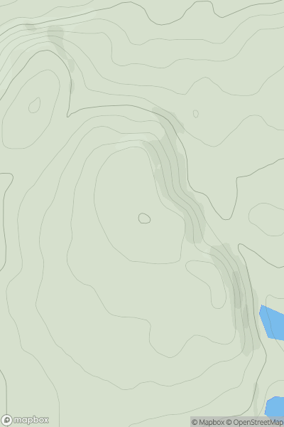
 Glen Tromie to Glen Tilt
 0
0 350.0
350.0User Activity
No recent Activity
0
Ascents
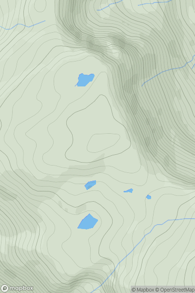
Loch Linnhe to Loch Etive
0
824.0User Activity
No recent Activity
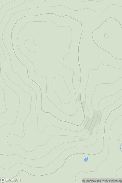
![Thumbnail image for The Bell [Lake District S] showing contour plot for surrounding peak](/static/img/mountains_img_db/7904_The_Bell_[Lake_District_S].png)
0
Ascents
Lake District S
0
335.0User Activity
No recent Activity
0
Ascents
The Glenkens to Annandale
0
225.0User Activity
No recent Activity
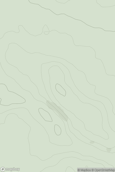
![Thumbnail image for Wester Hill [Firth of Forth to the River Tweed] showing contour plot for surrounding peak](/static/img/mountains_img_db/14181_Wester_Hill_[Firth_of_Forth_to_the_River_Tweed].png)
0
Ascents
Firth of Forth to the River Tweed
0
254.4User Activity
No recent Activity
0
Ascents
North Pennines
0
112.0User Activity
No recent Activity