


0
Ascents

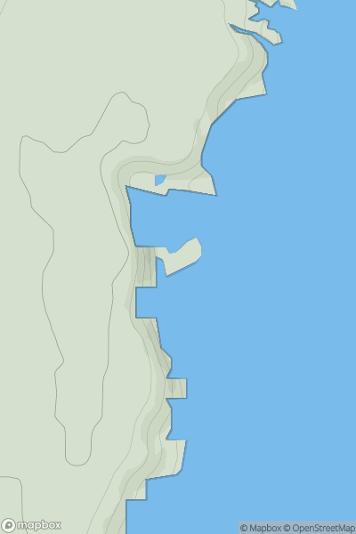
 Tongue to Wick and Helmsdale
 0
0 43.9
43.9User Activity
No recent Activity
.png)
0
Ascents
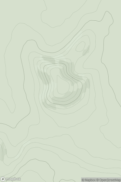
Galty Mountains
0
629.4User Activity
No recent Activity
0
Ascents
South Central England
0
244.0User Activity
No recent Activity
0
Ascents
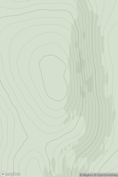
Braemar to Montrose
0
385.0User Activity
No recent Activity
.png)
0
Ascents
North Pennines
0
611.9User Activity
No recent Activity
0
Ascents
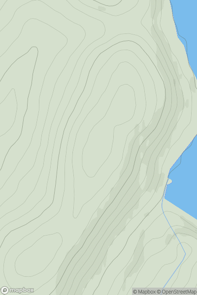
Altnaharra to Dornoch
0
458.0User Activity
No recent Activity