


0
Ascents

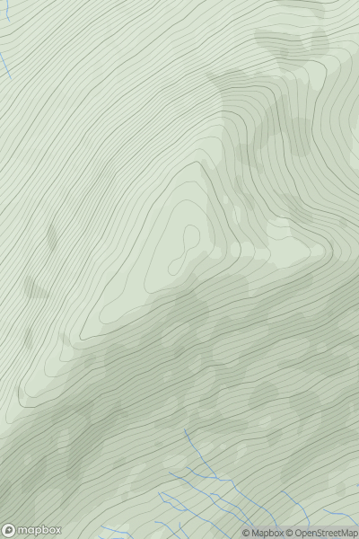
 Lake District E
 0
0 841.2
841.2User Activity
No recent Activity
0
Ascents
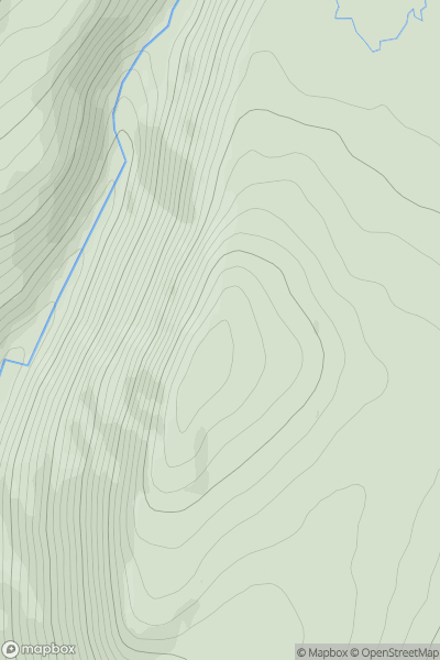
Glen Albyn and the Monadh Liath
0
795.0User Activity
No recent Activity
0
Ascents
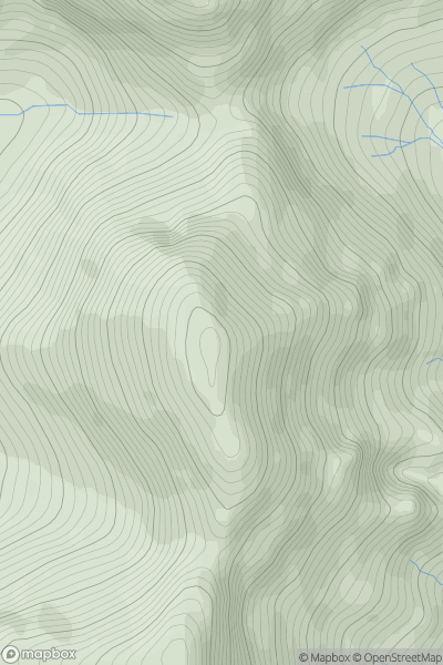
Canna, Rhum and Eigg
0
781.0User Activity
No recent Activity
0
Ascents
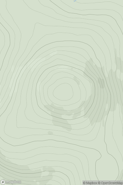
Northumberland
0
605.5User Activity
No recent Activity
0
Ascents
Glen Lyon to Glen Dochart & Loch Tay
0
749.0User Activity
No recent Activity
0
Ascents
Mull and Nearby Islands
0
761.6User Activity
No recent Activity