

![Thumbnail image for Sgurr Beag [Knoydart to Glen Kingie] showing contour plot for surrounding peak](/static/img/mountains_img_db/746_Sgurr_Beag_[Knoydart_to_Glen_Kingie].png)


0
Ascents

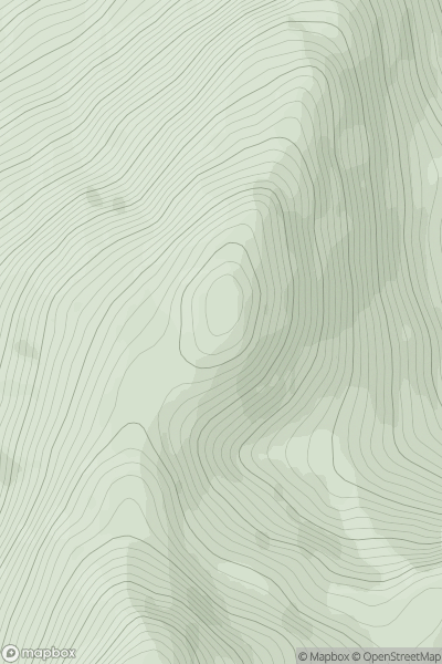
 Knoydart to Glen Kingie
 0
0 890.0
890.0User Activity
No recent Activity
0
Ascents
Sunart and Ardgour
0
634.0User Activity
No recent Activity
0
Ascents
Kyle of Lochalsh to Garve
0
686.7User Activity
No recent Activity
0
Ascents
Loch Lomond to Strathyre
0
856.8User Activity
No recent Activity
0
Ascents
Fort William to Loch Treig & Loch Leven
0
696.5User Activity
No recent Activity
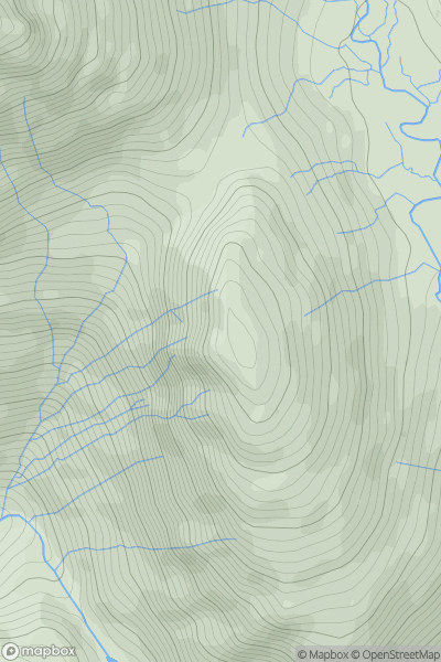
![Thumbnail image for Black Mountain [Llandovery to Monmouth] showing contour plot for surrounding peak](/static/img/mountains_img_db/2242_Black_Mountain_[Llandovery_to_Monmouth].png)
0
Ascents
Llandovery to Monmouth
0
703.6User Activity
No recent Activity