


0
Ascents

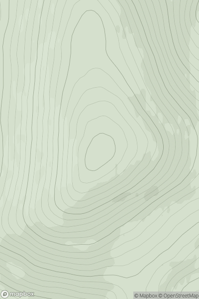
 Tomintoul to Banff
 0
0 609.1
609.1User Activity
No recent Activity
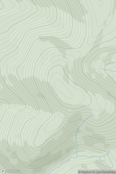
![Thumbnail image for Beinn Tharsuinn [Loch Fyne to Bute and the Firth of Clyde] showing contour plot for surrounding peak](/static/img/mountains_img_db/4540_Beinn_Tharsuinn_[Loch_Fyne_to_Bute_and_the_Firth_of_Clyde].png)
0
Ascents
Loch Fyne to Bute and the Firth of Clyde
0
619.2User Activity
No recent Activity
0
Ascents
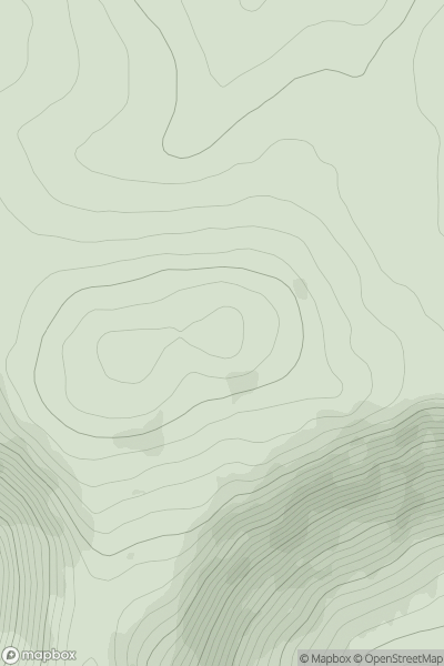
The River Tweed to the English Border
0
678.3User Activity
No recent Activity
0
Ascents
Braemar to Montrose
0
875.9User Activity
No recent Activity
0
Ascents
Pitlochry to Braemar & Blairgowrie
0
945.1User Activity
No recent Activity
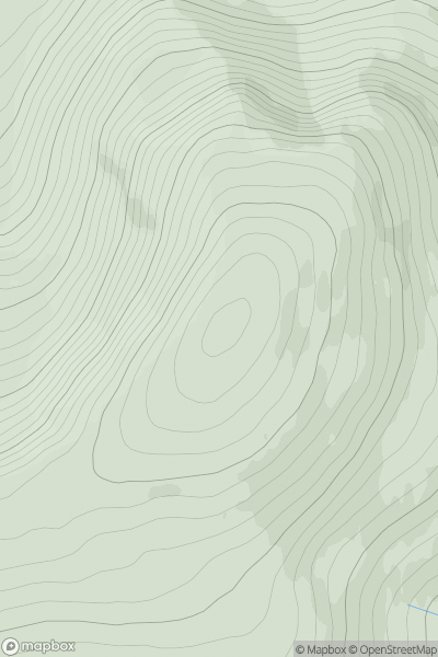
![Thumbnail image for Carn Dubh [Braemar to Montrose] showing contour plot for surrounding peak](/static/img/mountains_img_db/3104_Carn_Dubh_[Braemar_to_Montrose].png)
0
Ascents
Braemar to Montrose
0
822.0User Activity
No recent Activity