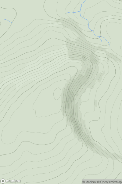
Ariel drone view of mountainous landscape with rolling clouds flowing over peak

Journal your hikes and share your adventures.

Bag peaks across the UK & Ireland, track your progress and see updates from Donder's growing community of hikers.

Donder's profile view available to users after sign-up, shows example user with progress tracking, hiking journal and user leaderboard

Thumbnail image for Carn na Drochaide [Pitlochry to Braemar & Blairgowrie] showing contour plot for surrounding peak
SCO
Icon of location pin
830m
Icon of vertical, double ended, arrow to symbolise height of mountain

Carn na Drochaide [Pitlochry to Braemar & Blairgowrie]

Icon of mountain used to symbolise the number of ascents made by users

0
Ascents

Thumbnail image for Fan Fawr showing contour plot for surrounding peak
WLS
Icon of location pin
734m
Icon of vertical, double ended, arrow to symbolise height of mountain

Fan Fawr

Icon of mountain used to symbolise the number of ascents made by users

0
Ascents

Thumbnail image for Sron a' Choire Chnapanaich (Sron a' Choire Chnapanich) showing contour plot for surrounding peak
SCO
Icon of location pin
835m
Icon of vertical, double ended, arrow to symbolise height of mountain

Sron a' Choire Chnapanaich (Sron a' Choire Chnapanich)

Icon of mountain used to symbolise the number of ascents made by users

0
Ascents

Thumbnail image for Sabhal Beag showing contour plot for surrounding peak
SCO
Icon of location pin
732m
Icon of vertical, double ended, arrow to symbolise height of mountain

Sabhal Beag

Icon of mountain used to symbolise the number of ascents made by users

0
Ascents

Thumbnail image for Skregmore (Screig Mhor) showing contour plot for surrounding peak
IRE
Icon of location pin
848m
Icon of vertical, double ended, arrow to symbolise height of mountain

Skregmore (Screig Mhor)

Icon of mountain used to symbolise the number of ascents made by users

0
Ascents

Thumbnail image for Mynydd Tal-y-mignedd showing contour plot for surrounding peak
WLS
Icon of location pin
653m
Icon of vertical, double ended, arrow to symbolise height of mountain

Mynydd Tal-y-mignedd

Icon of mountain used to symbolise the number of ascents made by users

0
Ascents