


0
Ascents

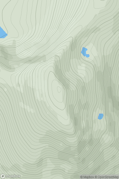
 Loch Rannoch to Glen Lyon
 0
0 1080.6
User Activity
No recent Activity
.png)
0
Ascents
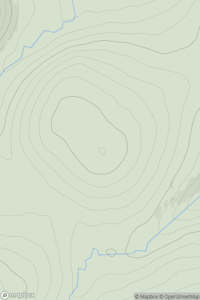
Leitrim and W Cavan
0
611.0User Activity
No recent Activity
0
Ascents
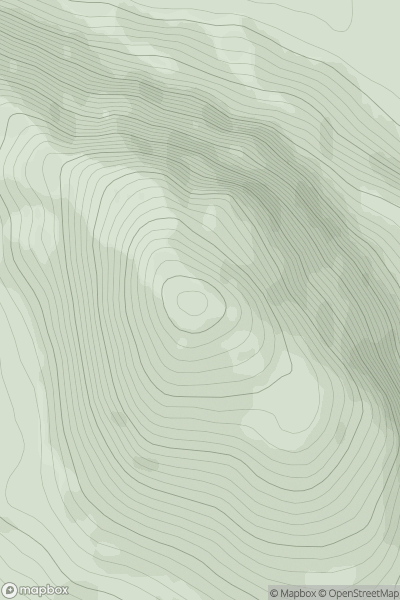
Braemar to Montrose
0
760.6User Activity
No recent Activity
0
Ascents
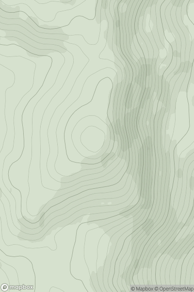
Loch Maree to Loch Broom
0
722.0User Activity
No recent Activity
![Thumbnail image for Cam Chreag [Glen Lyon to Glen Dochart & Loch Tay] showing contour plot for surrounding peak](/static/img/mountains_img_db/171_Cam_Chreag_[Glen_Lyon_to_Glen_Dochart_&_Loch_Tay].png)
0
Ascents
Glen Lyon to Glen Dochart & Loch Tay
0
883.6User Activity
No recent Activity
0
Ascents
Loch Lomond to Strathyre
0
735.7User Activity
No recent Activity