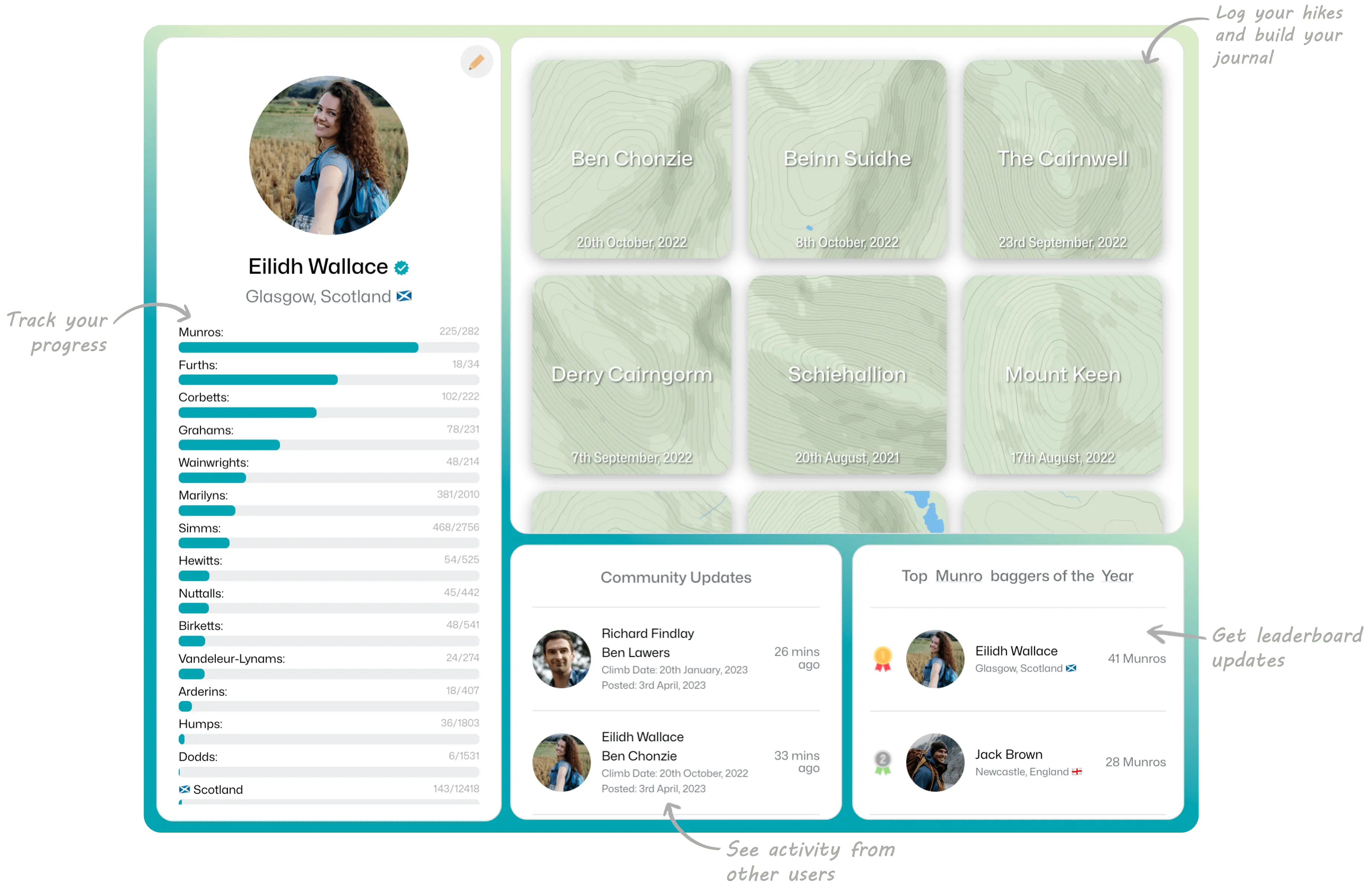
Welcome to Donder! These terms and conditions ("Terms") govern your use of our website, including all features and functionality available through the website, and any content, products, or services offered by us (collectively, the "Service"). By accessing or using the Service, you agree to be bound by these Terms.
Your Account
To use the Service, you must create an account and provide accurate and complete information about yourself. You are responsible for maintaining the confidentiality of your account information, including your username and password, and for all activities that occur under your account. You must immediately notify us of any unauthorized use of your account or any other breach of security. We will not be liable for any loss or damage arising from your failure to comply with this Section.
User Content
You retain all ownership rights to any content you post or upload to the Service ("User Content"). By posting or uploading User Content, you grant us a non-exclusive, transferable, sublicensable, royalty-free, worldwide license to use, copy, modify, create derivative works based on, distribute, publicly display, publicly perform, and otherwise exploit in any manner such User Content in all formats and distribution channels now known or hereafter devised (including in connection with the Service and our business and on third-party sites and services), without further notice to or consent from you, and without the requirement of payment to you or any other person or entity.
You represent and warrant that you have all rights necessary to grant the licenses granted in this Section, and that your User Content does not violate the privacy rights, publicity rights, copyright rights, or other rights of any person or entity.
Prohibited Conduct
You agree not to use the Service to:
- Upload, post, email, or otherwise transmit any User Content that is unlawful, harmful, threatening, abusive, harassing, defamatory, vulgar, obscene, libellous, invasive of another's privacy, hateful, or racially, ethnically, or otherwise objectionable.
- Impersonate any person or entity or falsely state or otherwise misrepresent your affiliation with a person or entity.
- Engage in any activity that interferes with or disrupts the Service (or the servers and networks which are connected to the Service), including by transmitting any worms, viruses, spyware, malware, or other code of a destructive or disruptive nature.
- Harvest or collect information about users of the Service; or
- Violate any applicable laws or regulations.
Intellectual Property
All content, trademarks, service marks, logos, and other intellectual property displayed on or through the Service are the property of their respective owners. You may not modify, copy, reproduce, republish, upload, post, transmit, distribute, or otherwise use any of the content, trademarks, service marks, logos, or other intellectual property displayed on or through the Service without the prior written consent of the respective owner.
Indemnification
You agree to indemnify, defend, and hold harmless us, our affiliates, officers, directors, employees, agents, and third-party service providers from and against any claims, actions, liabilities, damages, costs, or expenses (including reasonable attorneys' fees) arising out of or relating to your use of the Service, your User Content, or your violation of these Terms.
Disclaimer of Warranties
THE SERVICE IS PROVIDED "AS IS" AND "AS AVAILABLE"


