

![Thumbnail image for Meall Odhar Mor [Loch Ericht to Glen Tromie & Glen Garry] [NN681803] showing contour plot for surrounding peak](/static/img/mountains_img_db/3023_Meall_Odhar_Mor_[Loch_Ericht_to_Glen_Tromie_&_Glen_Garry]_[NN681803].png)


0
Ascents

 Loch Ericht to Glen Tromie & Glen Garry
 0
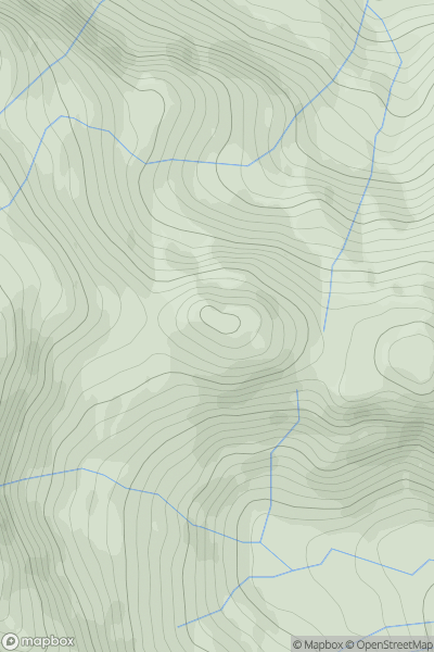
0 891.5
891.5User Activity
No recent Activity
0
Ascents
Inveraray to Crianlarich
0
808.0User Activity
No recent Activity
0
Ascents
Llandovery to Monmouth
0
802.5User Activity
No recent Activity
0
Ascents
Loch Broom to Strath Oykel
0
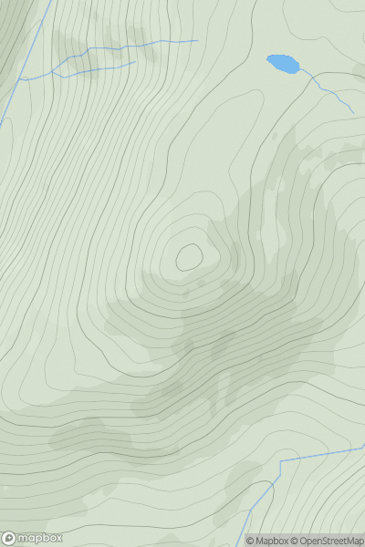
890.0User Activity
No recent Activity
![Thumbnail image for Beinn Tarsuinn [Loch Maree to Loch Broom] showing contour plot for surrounding peak](/static/img/mountains_img_db/1019_Beinn_Tarsuinn_[Loch_Maree_to_Loch_Broom].png)
0
Ascents
Loch Maree to Loch Broom
0
933.8User Activity
No recent Activity
0
Ascents
Pitlochry to Braemar & Blairgowrie
0
917.5User Activity
No recent Activity