


0
Ascents

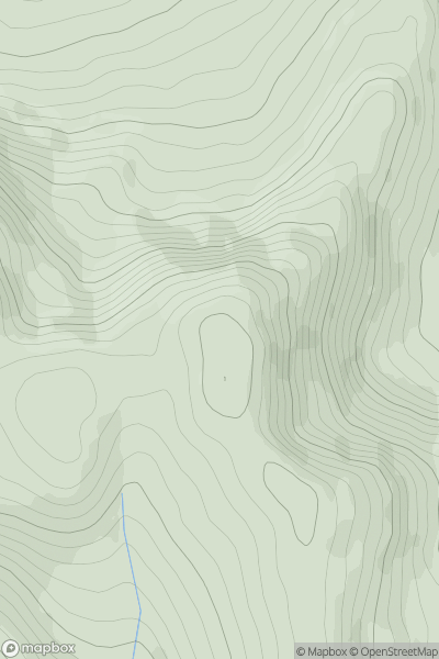
 Glen Lyon to Glen Dochart & Loch Tay
 0
0 866.0
866.0User Activity
No recent Activity
0
Ascents
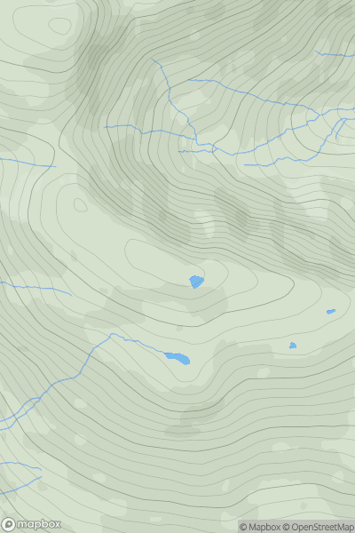
The River Tweed to the English Border
0
719.0User Activity
No recent Activity
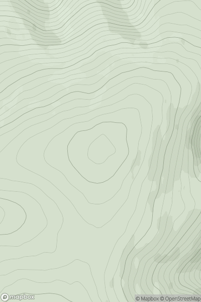
![Thumbnail image for Sron Liath [Mallaig to Fort William] showing contour plot for surrounding peak](/static/img/mountains_img_db/4303_Sron_Liath_[Mallaig_to_Fort_William].png)
0
Ascents
Mallaig to Fort William
0
720.0User Activity
No recent Activity
0
Ascents
Morvern and Kingairloch
0
702.0User Activity
No recent Activity
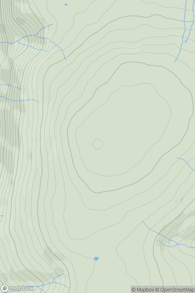
![Thumbnail image for Sgurr na h-Aide [Mallaig to Fort William] showing contour plot for surrounding peak](/static/img/mountains_img_db/3200_Sgurr_na_h-Aide_[Mallaig_to_Fort_William].png)
0
Ascents
Mallaig to Fort William
0
859.8User Activity
No recent Activity
0
Ascents
Lake District E
0
672.0User Activity
No recent Activity