

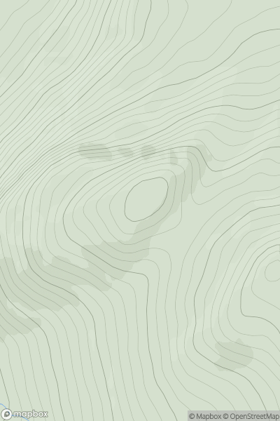
![Thumbnail image for Meall Buidhe [Loch Rannoch to Glen Lyon] [NN359438] showing contour plot for surrounding peak](/static/img/mountains_img_db/116_Meall_Buidhe_[Loch_Rannoch_to_Glen_Lyon]_[NN359438].png)


0
Ascents

 Loch Rannoch to Glen Lyon
 0
0 977.2
977.2User Activity
No recent Activity
0
Ascents
Loch Treig to Loch Ericht
0
715.0User Activity
No recent Activity
0
Ascents
Loch Tay to Perth
0
619.0User Activity
No recent Activity
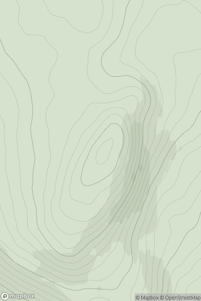
![Thumbnail image for Meall Dubh [Loch Ericht to Glen Tromie & Glen Garry] showing contour plot for surrounding peak](/static/img/mountains_img_db/5953_Meall_Dubh_[Loch_Ericht_to_Glen_Tromie_&_Glen_Garry].png)
0
Ascents
Loch Ericht to Glen Tromie & Glen Garry
0
607.9User Activity
No recent Activity
.png)
0
Ascents
Sperrin Mountains
0
678.0User Activity
No recent Activity
![Thumbnail image for Beinn Dearg [Loch Torridon to Loch Maree] showing contour plot for surrounding peak](/static/img/mountains_img_db/970_Beinn_Dearg_[Loch_Torridon_to_Loch_Maree].png)
0
Ascents
Loch Torridon to Loch Maree
0
913.7User Activity
No recent Activity