

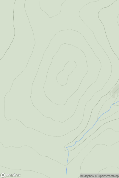
![Thumbnail image for Tom Liath [Glen Tromie to Glen Tilt] showing contour plot for surrounding peak](/static/img/mountains_img_db/4071_Tom_Liath_[Glen_Tromie_to_Glen_Tilt].png)


0
Ascents

 Glen Tromie to Glen Tilt
 0
0 691.7
691.7User Activity
No recent Activity
0
Ascents
Glen Albyn and the Monadh Liath
0
744.0User Activity
No recent Activity
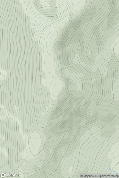
![Thumbnail image for Meall Breac [Loch Ericht to Glen Tromie & Glen Garry] showing contour plot for surrounding peak](/static/img/mountains_img_db/4055_Meall_Breac_[Loch_Ericht_to_Glen_Tromie_&_Glen_Garry].png)
0
Ascents
Loch Ericht to Glen Tromie & Glen Garry
0
685.4User Activity
No recent Activity
0
Ascents
Knoydart to Glen Kingie
0
857.3User Activity
No recent Activity
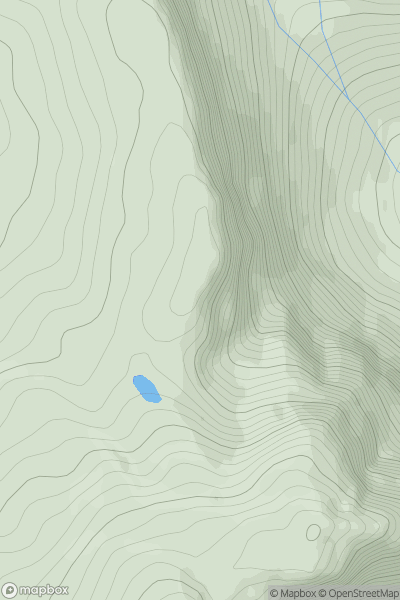
![Thumbnail image for Creag nan Gall [Braemar to Montrose] showing contour plot for surrounding peak](/static/img/mountains_img_db/6076_Creag_nan_Gall_[Braemar_to_Montrose].png)
0
Ascents
Braemar to Montrose
0
601.0User Activity
No recent Activity
0
Ascents
Applecross to Achnasheen
0
652.2User Activity
No recent Activity