


0
Ascents

 Lochinver to Ullapool
 0
0 731.4
731.4User Activity
No recent Activity
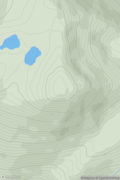
0
Ascents
Minginish and the Cuillin Hills
0
689.2User Activity
No recent Activity
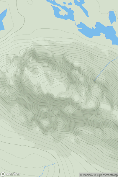
0
Ascents
Loch Maree to Loch Broom
0
787.0User Activity
No recent Activity
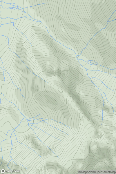
0
Ascents
Northumberland
0
714.4User Activity
No recent Activity
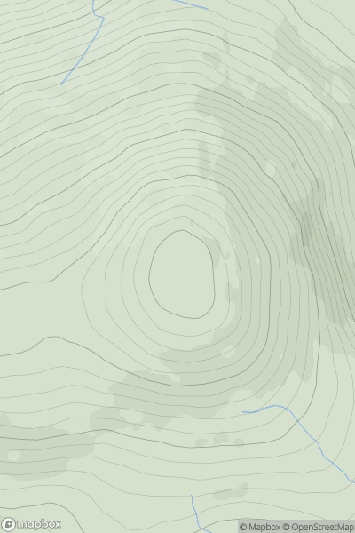
![Thumbnail image for Meall Tionail [Glen Lyon to Glen Dochart & Loch Tay] showing contour plot for surrounding peak](/static/img/mountains_img_db/2977_Meall_Tionail_[Glen_Lyon_to_Glen_Dochart_&_Loch_Tay].png)
0
Ascents
Glen Lyon to Glen Dochart & Loch Tay
0
892.9User Activity
No recent Activity
0
Ascents
Loch Torridon to Loch Maree
0
716.0User Activity
No recent Activity