


0
Ascents

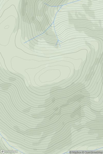
 The River Tweed to the English Border
 0
0 698.0
698.0User Activity
No recent Activity
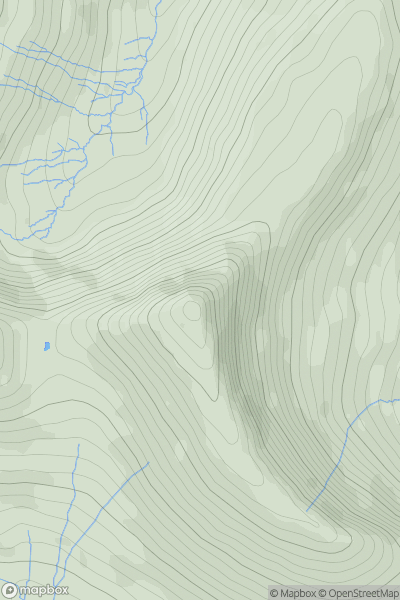
![Thumbnail image for Beinn Bhoidheach [Loch Ericht to Glen Tromie & Glen Garry] showing contour plot for surrounding peak](/static/img/mountains_img_db/3034_Beinn_Bhoidheach_[Loch_Ericht_to_Glen_Tromie_&_Glen_Garry].png)
0
Ascents
Loch Ericht to Glen Tromie & Glen Garry
0
790.3User Activity
No recent Activity
.png)
0
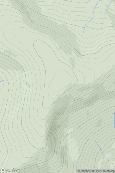
Ascents
Lake District C&W
0
744.8User Activity
No recent Activity
0
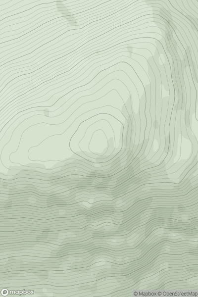
Ascents
Carrick and Galloway
0
716.7User Activity
No recent Activity
0
Ascents
Loch Arkaig to Glen Moriston
0
888.0User Activity
No recent Activity
0
Ascents
Llandovery to Monmouth
0
795.0User Activity
No recent Activity