

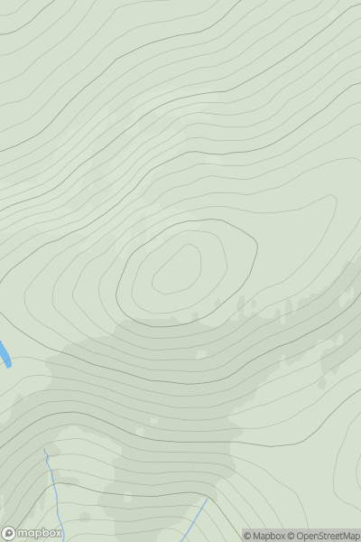
![Thumbnail image for Meall Garbh [Glen Lyon to Glen Dochart & Loch Tay] [NN644437] showing contour plot for surrounding peak](/static/img/mountains_img_db/143_Meall_Garbh_[Glen_Lyon_to_Glen_Dochart_&_Loch_Tay]_[NN644437].png)


0
Ascents

 Glen Lyon to Glen Dochart & Loch Tay
 0
0 1123.1
User Activity
No recent Activity
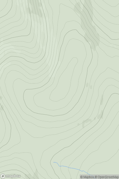
![Thumbnail image for Mid Rig [The River Tweed to the English Border] [NT180122] showing contour plot for surrounding peak](/static/img/mountains_img_db/1907_Mid_Rig_[The_River_Tweed_to_the_English_Border]_[NT180122].png)
0
Ascents
The River Tweed to the English Border
0
615.8User Activity
No recent Activity
0
Ascents
Braemar to Montrose
0
778.0User Activity
No recent Activity
0
Ascents
The Glenkens to Annandale
0
628.0User Activity
No recent Activity
0
Ascents
North Pennines
0
649.0User Activity
No recent Activity

0
Ascents
The River Tweed to the English Border
0
744.0User Activity
No recent Activity