


0
Ascents

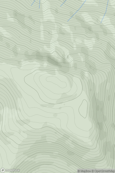
 Mallaig to Fort William
 0
0 790.0
790.0User Activity
No recent Activity
0
Ascents
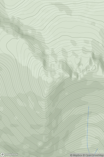
Loch Maree to Loch Broom
0
1016.4User Activity
No recent Activity
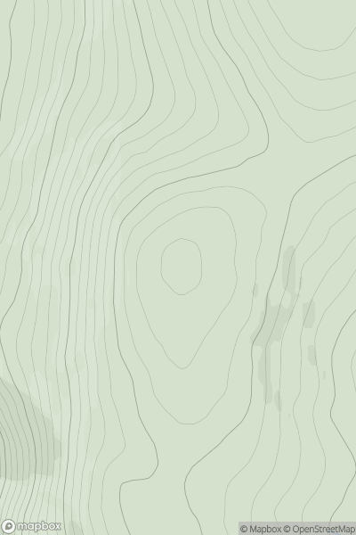
![Thumbnail image for Meall Beag [Inveraray to Crianlarich] showing contour plot for surrounding peak](/static/img/mountains_img_db/5792_Meall_Beag_[Inveraray_to_Crianlarich].png)
0
Ascents
Inveraray to Crianlarich
0
608.6User Activity
No recent Activity
0
Ascents
Glen Tromie to Glen Tilt
0
884.9User Activity
No recent Activity
0
Ascents
Knoydart to Glen Kingie
0
801.3User Activity
No recent Activity
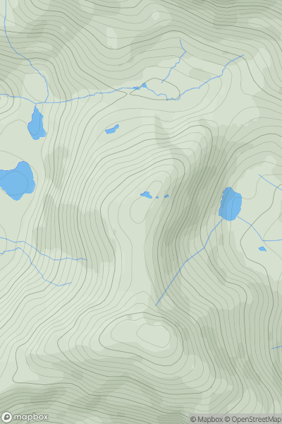
![Thumbnail image for Black Hill [Braemar to Montrose] [NO163718] showing contour plot for surrounding peak](/static/img/mountains_img_db/4104_Black_Hill_[Braemar_to_Montrose]_[NO163718].png)
0
Ascents
Braemar to Montrose
0
755.7User Activity
No recent Activity