


0
Ascents

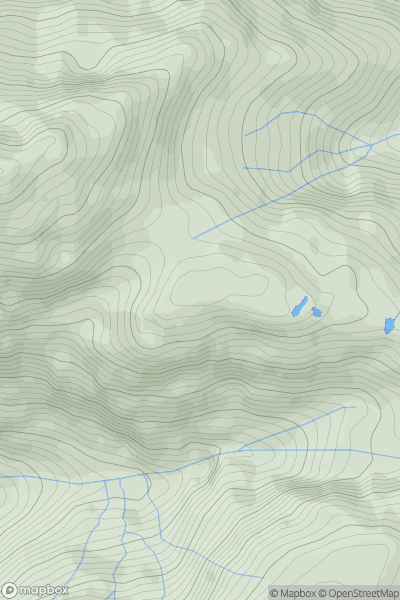
 Knoydart to Glen Kingie
 0
0 716.0
716.0User Activity
No recent Activity
![Thumbnail image for Sgurr Dubh South Top [Applecross to Achnasheen] showing contour plot for surrounding peak](/static/img/mountains_img_db/4394_Sgurr_Dubh_South_Top_[Applecross_to_Achnasheen].png)
0
Ascents
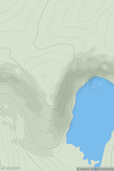
Applecross to Achnasheen
0
662.0User Activity
No recent Activity
0
Ascents
Braemar to Montrose
0
835.5User Activity
No recent Activity
0
Ascents
Minginish and the Cuillin Hills
0
701.6User Activity
No recent Activity
![Thumbnail image for Glas Mheall Mor [Loch Ericht to Glen Tromie & Glen Garry] [NN680769] showing contour plot for surrounding peak](/static/img/mountains_img_db/391_Glas_Mheall_Mor_[Loch_Ericht_to_Glen_Tromie_&_Glen_Garry]_[NN680769].png)
0
Ascents
Loch Ericht to Glen Tromie & Glen Garry
0
928.0User Activity
No recent Activity
![Thumbnail image for Sgurr Dubh [Knoydart to Glen Kingie] showing contour plot for surrounding peak](/static/img/mountains_img_db/4277_Sgurr_Dubh_[Knoydart_to_Glen_Kingie].png)
0
Ascents
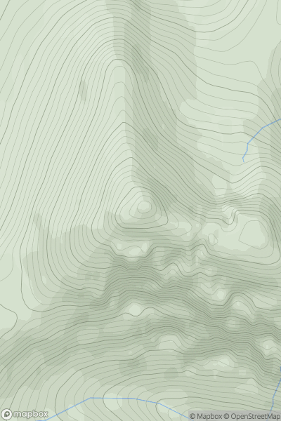
Knoydart to Glen Kingie
0
739.0User Activity
No recent Activity